
 |
| Colorado River in Marble Canyon |
Nankoweap Trail has an impressive resume of dire warnings, and in general I advise first time visitors to consider them carefully. Even so, having hiked all the named trails and routes in Grand Canyon at one time or another, in my opinion Nankoweap is really no worse than most.
As I see it the biggest challenge is not that there is exposure, it's there's so much of it, occurring in both the long traverse of the Supai layer before Tilted Mesa, and again on the relatively short and steep descent from the mesa to the drop through the Tapeats formation. There's literally a five mile stretch where a slip and fall would likely result in serious bodily harm or death, and anyone who is obsessed with the probability will not have an enjoyable hike. Otherwise it's the Grand Canyon, where every outing into the backcountry is a calculated risk.
Like most trails in the Canyon, Nankoweap arose from a path used by natives to reach the River. The Powell Expedition of 1882-1883 is credited with improving the route so that the team's geologist, a fellow named Charles Doolittle Walcott could bring instruments and horses into the area to study the rocks. His findings resulted in a series of well known scientific papers, and eventually Mr. Walcott went on to succeed J.W. Powell as head of the U.S. Geological Survey.
In later years the trail gained notoriety as part of the so called "Horsethief Trail" which was allegedly used by rustlers in Utah to drive stolen livestock across the Canyon into northern Arizona. Given the current state of the path it is hard to believe any animal would willingly make the trip, not to mention how riders on horseback would negotiate some sections, but things may well have been different in the last century.
The word Nankoweap has two different attributions. In one story John Wesley Powell is said to have used the Paiute word for "place that echoes" to name the canyon, while another has a similar sounding Indian word which means "people who were killed". In this version the word Ninkuipi was given to this place to honor Paiutes who died in an attack by raiding Apaches. Either way there is no mistaking the influence native people left on the area. More on that later.
Getting There
There are two approaches to the Nankoweap trail. The most reliable year-round access is from FR 8910 through House Rock Valley, which comes in at a lower elevation and usually has less snow in the winter. The other way in is from FR 610 off the North Kaibab plateau. The road here is affected by the seasonal closure of State Route 67 (usually mid-October through mid-May), as well as other factors such as fire and fallen trees. If using FR 610 be sure to get current information from the North Kaibab Ranger District as restrictions may be in place.
These two roads access either end of Saddle Mountain Trail No. 57, which links House Rock Valley and the North Kaibab. The junction with Nankoweap occurs at roughly the halfway point along the trail. Entering from FR 610, the Saddle Mountain trail begins high on the rim at 8800 feet, and drops over the course of 3 miles to the Nankoweap trailhead at 7640 feet. The positive here is that the beginning of the trip is all downhill, but hikers should consider that the extra 1200 feet will need to be tackled at the end.
Using the House Rock Valley access point, Trail 57 climbs 3.5 miles from 6800 feet to the beginning of Nankoweap, with an overall elevation gain of 1400 feet before reaching the rim of Grand Canyon. The initial uphill climb may be challenging to some as packs are heaviest at the start of a trip, but consider the benefit of knowing the last leg of the hike out will be somewhat easier. This post addresses a hike using the House Rock Valley entry and exit.
Other Considerations
Whichever end of the Saddle Mountain trail you use to reach the Nankoweap, the overall distance to the Colorado River is 14 miles. There is no reliable source of water until Nankoweap Creek at around 12.5 miles. While it possible to hike the entire distance in a day, the journey will be much more enjoyable if you allow for 2 days in each direction. Since water is unavailable in the upper Canyon, plan to carry or cache sufficient supplies for dry camps coming and going. Marion Point and Tilted Mesa make good destinations for overnight camping, with more choices for camping available at Tilted Mesa.
 |
| Helicopters fly a fixed route over Nankoweap during the day |
While certainly a distraction at times, the flights are far enough overhead (Federal law requires helicopters to stay 800 feet above the rim, while fixed wing planes must remain even higher at 1200 feet) to mostly be a minimal nuisance.
From the parking area at the Saddle Mountain trailhead, the eponymous geographical feature rises above. Starting with a deceptively gentle grade in a pinyon-juniper woodland, the path climbs in a generally southern direction along an old road.
 |
| Saddle Mountain Trail No. 57 from House Rock Valley |
 |
| Vermilion Cliffs rise above House Rock Valley |
 |
| Marble Canyon and Echo Cliffs |

The trail continues upward through a mostly ponderosa pine forest, at first with a gentler grade in the dry creekbed. There is still over 800 feet to climb though, and soon enough the path obliges with a sharper incline and few switchbacks.


Stopping frequently to rest and catch a breath in the shade of mature ponderosa trees, hikers may note evidence of the 1960 Saddle Mountain fire which burned around 8000 acres. The vegetation here has made some progress in returning with Gambel Oak, manzanita, and small jack pines filling in the understory of the forest.
Eventually the trail begins to level off as it approaches the rim. In a half mile or so you'll reach the intersection of Nankoweap with Trail 57 coming from the North Kaibab.

 |
| Saddle Mountain Trail No. 57 Junction |
 |
| Nankoweap Trailhead - Elevation 7640' |
After so much up, it's time to go down. The first descent is relatively short but steep, a passage through Esplanade sandstone which leads directly to a lengthy traverse of the Supai layer below.
 |
| Dropping in through the Esplanade sandstone |


I am an experienced Canyon hiker with many miles under my boots, and exposure in general does not bother me. There are always risks associated with hiking the wilderness of Grand Canyon, and falls from great heights are only one aspect. That said this trail is really not for the faint of heart, particularly if vertigo an issue.
The traverse features not only narrow trails on the edge of certain injury or death, but also a lot of up and down. Looking at a topographic map, the line representing the trail offers no clue as to the truly undulating nature of the Nankoweap, and it's for this reason among others that I recommend breaking up the trip into multiple days.
A welcome respite from the contour through the Supai comes at Marion Point, where a ridge extends into the Canyon and offers a small site for one or two tents. Here it is easy to get confused as well - the trail does not continue along the ridge; instead it turns back to the north and continues the traverse. Just past Marion Point at the head of a drainage is a small seasonal seep, which is only likely to have water after a very wet winter.
 |
| Marion Point |
The views from Tilted Mesa are pretty awesome as well, with the dry drainage of Little Nankoweap Creek to the east, and the upper watershed of Nankoweap to the southwest.
 |
| Little Nankoweap |
 |
| Nankoweap Creek from Tilted Mesa |


There is a mercifully short but somewhat sketchy drop through a layer of yellow shale that has a very loose and steep surface, and hikers with heavy packs will be glad for a walking stick or trekking poles.

When that charming passage is finished, another delightful section begins where the path plunges steeply down a ridge of loose rock. There is not a switchback to be seen in this part of the trail, and great care is needed to avoid a slip.
 |
| Yes, that's a trail |

 |
| The trail is barely visible high on the slopes of Bright Angel shale |


The hard part is finally over, as the trail winds down into a drainage. The exit onto a broad terrace of depositional material above Nankoweap Creek signals the final approach. Cottonwood trees in the streambed signal the presence of water and shade, and weary hikers can look forward to rest and relaxation in their midst.


Several good camping spots can be found on both sides of the trail confluence. Water flows year-round in Nankoweap Creek, with springs located above and below the junction.
Hikers may also elect to continue to the Colorado River to camp on a beach. Fair warning: those who do should know it is likely their spot will be overrun with river runners, since Nankoweap is very popular with river trips due to the granaries and large beach. I prefer camping along the creek where you can rest assured of peace and quiet, and reaching the River is easy enough with a short day hike.


Once you've settled in, it's time to hike downstream to visit the River and the famous granaries located in the Redwall above the Colorado. There is no established trail, but multiple paths meander in and out of the streambed, and crossing the creek occurs hundreds of time along the way.


There are small springs located at many places where water enters the creek out of fissures in the rock. These provide habitat for moisture loving plants that only exist with direct access to water - look 10 feet on either side of the creekbed and all vegetation is of the desert adapted variety.


After a pleasant walk of about a mile and a half along the creek, the mouth of Nankoweap widens and the towering walls of Marble Canyon are revealed ahead.


The granaries are easy to spot, and the trail which leads there is steep with big steps. As you approach, there is another granary set into an alcove which has no apparent access.

These fascinating structures date back to a time around 800 - 900 years ago, when native peoples were farming creek and river deltas and storing corn and other food staples away from rodents and pests. Given their age and popularity with river trips, the granaries are in remarkable condition.


Perched high on the slope above the River, the ancestral storage site offers a panoramic view downstream, with a great ledge to sit upon while reflecting on the people who built it.
The gorge here is narrow compared to the sections downstream, and the sheer walls of Marble Canyon rise over 3000 feet above the River. Unlike the Canyon downstream, the space here is confined with only shallow benches to break the vertical relief.
Once you've had sufficient time to absorb the sights and sounds of Marble Canyon, it's time to return once more to isolated yet beautiful Nankoweap Creek.


 | |
| Scorpionweed |
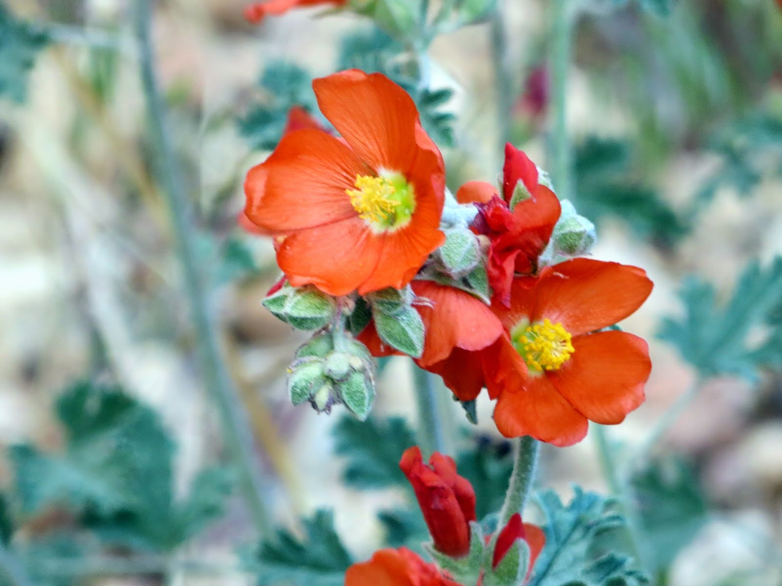 |
| Globe Mallow |
You might even get lucky as a pair of mule deer walk within feet of your camp, untroubled by your presence and purpose. That's a great way to spend the day.
