Tuesday, May 22, 2012

On Foot Part XII - The Weatherford Trail

After living and recreating in and around Flagstaff, Arizona for nearly 20 years there are still a few places in my backyard I had yet to visit. One of these is the Weatherford Trail, which ascends the south flank of the San Francisco Peaks and connects to other routes exploring the Inner Basin and the highest point in the state, Humphrey's Peak.

The Weatherford has an interesting history, beginning as one man's dream of a toll road to the summit in 1916. The automobile was still somewhat of a novelty at the time, and people were constantly testing the limits of the new "horseless carriage" to see where it could take them. Envisioned as a tourist attraction by local Flagstaff entrepreneur John Weatherford, the road eventually made it to Fremont Saddle, but was ultimately abandoned in 1934 as maintenance costs and lack of revenue forced the San Francisco Mountain Scenic Boulevard Company out of business.

Today the route serves as a long and gradual path for hikers and horse riders to visit an area of the mountain relatively few people see, and provides access to a variety of trails that can be done as an "in and out" or as part of a long circumnavigation of the Peaks. This post focuses on the nearly 13 mile round-trip from the trailhead on Shultz Pass Road to Doyle Saddle and back.

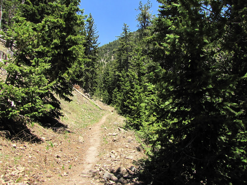
Beginning at the parking area south of Schultz Pass Road, the trail immediately heads north, quickly crossing a natural gas pipeline. The first .5 mile of the hike is characterized by dense thickets of ponderosa pine also known as "dog hair", which are small trees growing in close proximity to one another. These unhealthy stands of immature trees are endemic to many areas of the forest, and represent years of poor management practices by humans.


As the trail climbs gradually towards the mountains the scenery improves markedly, featuring occasional open meadows flanked by mature ponderosa trees that present a park-like setting. Scientists who study the pre-settlement ecosystem believe this is a more realistic representation of how the environment appeared before fire suppression, the introduction of domestic livestock, and widespread logging of the landscape created the conditions we see today.


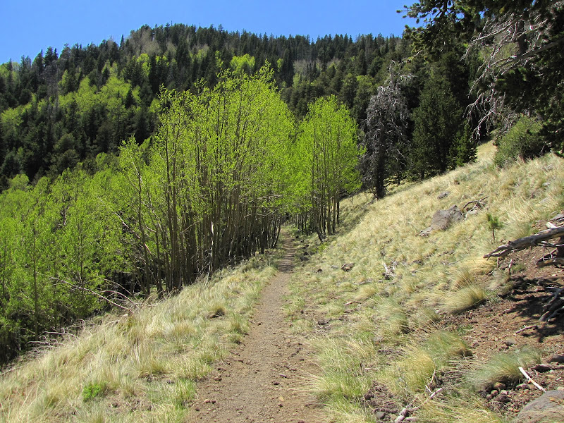
Not long afterwards white-barked aspens line both sides of the trail, forming a colonnade where the slightest breeze sets the leafy green rafters rustling in a gentle and soothing whisper.


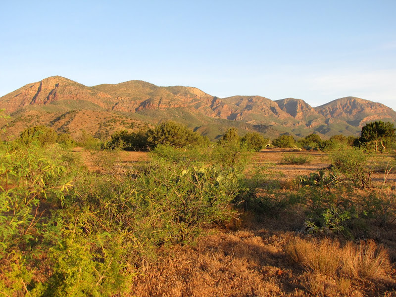
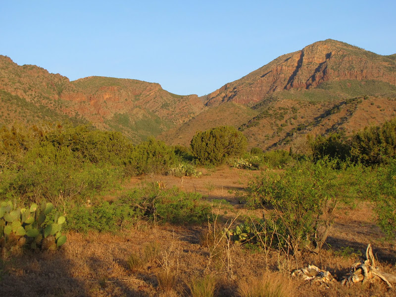
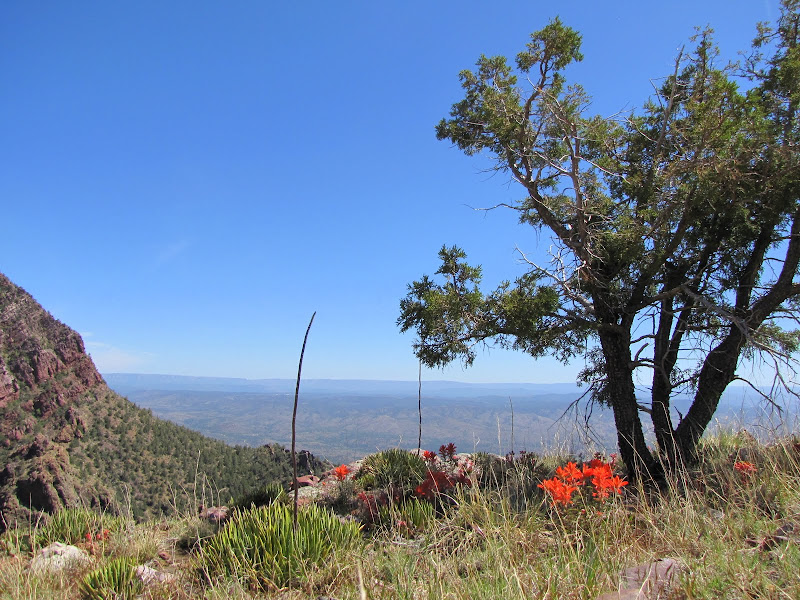
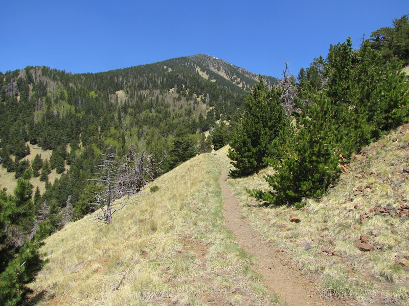
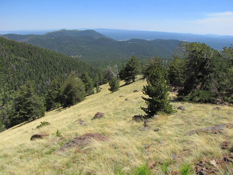
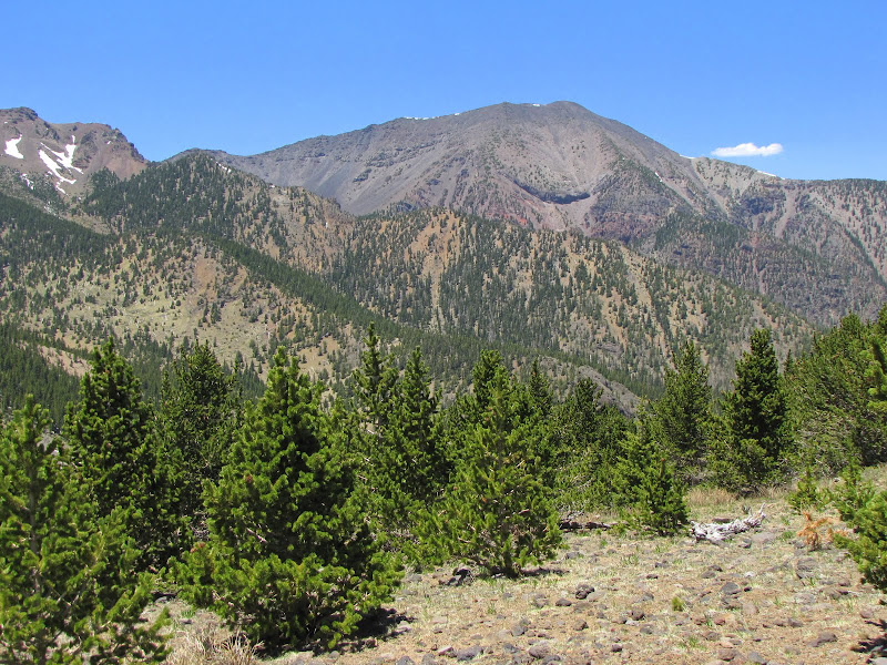
Every so often a void opens up ahead, offering views of the Peaks themselves. At just over 12,500 feet, both Agassiz and Humphrey's peaks tower over everything else in northern Arizona, and harbor the only true alpine habitat in the state.


Because of extensive timber harvesting in the past, not many of these "yellow-bellies" exist today. Beautiful and stately, old growth ponderosa pines can live several hundreds of years and reach heights of 150 feet or more. At maturity the bark is a yellowish-reddish color, and at this point the tree is exceptionally resistant to fire, except where dense undergrowth exists that promote crown fires.


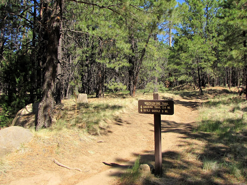
At about the 1.7 mile mark the Kachina Trail intersects the Weatherford from the west. This long and relatively level trail girdles the south - southwestern slopes of the Peaks and forms one section of a possible loop hike.

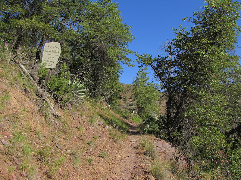
Shortly after the junction the trail enters the Kachina Peaks Wilderness proper, where only human or horse legs can power you to the summit. Created in 1984, the Wilderness preserves nearly 19,000 acres of high altitude habitat that is exceedingly rare in the desert southwest.


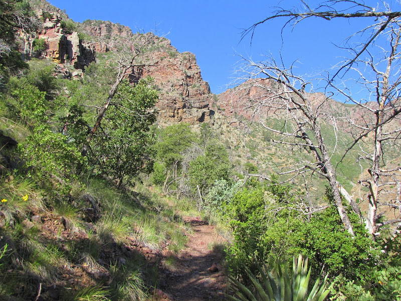
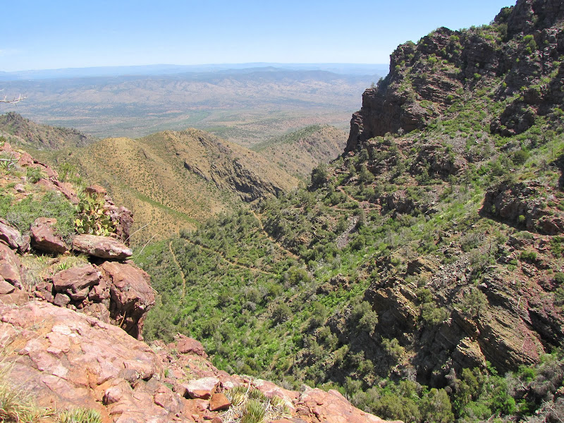
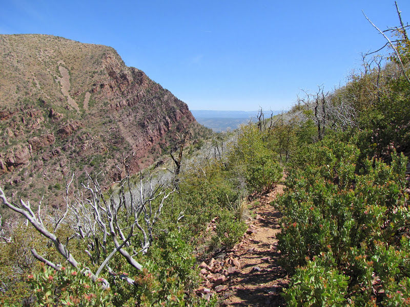
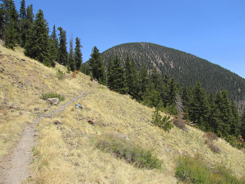
Having reached the point where the mountain begins to rise dramatically from the gently sloping terrain at its base, the trail now begins a series of long switchbacks to achieve the saddle. Although the grade seems very slight, do not be deceived. Beginning at 8000 feet near Schultz Pass and ending at 10,800 above sea level this hike will leave those unaccustomed to high elevation hiking feeling a bit winded.


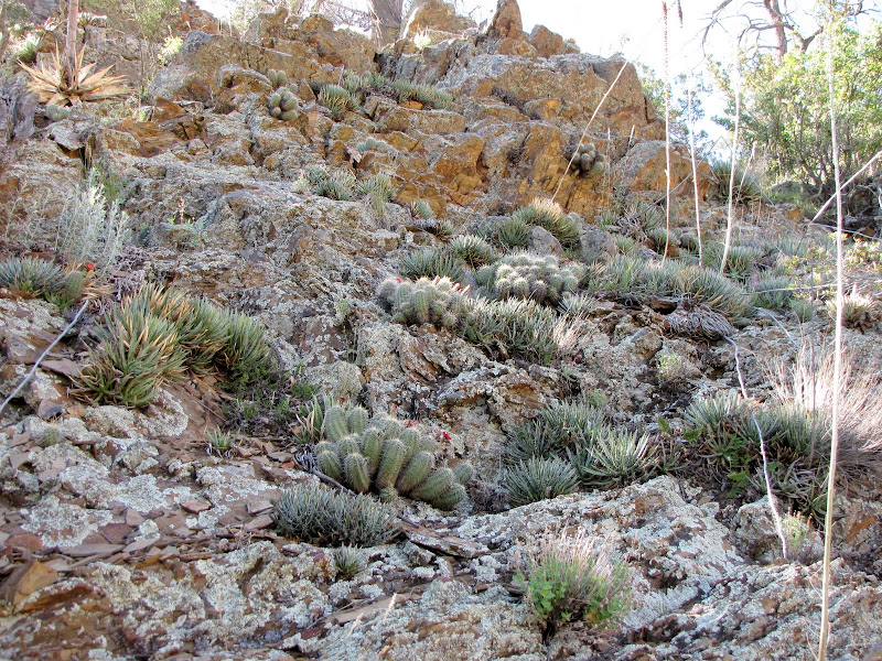
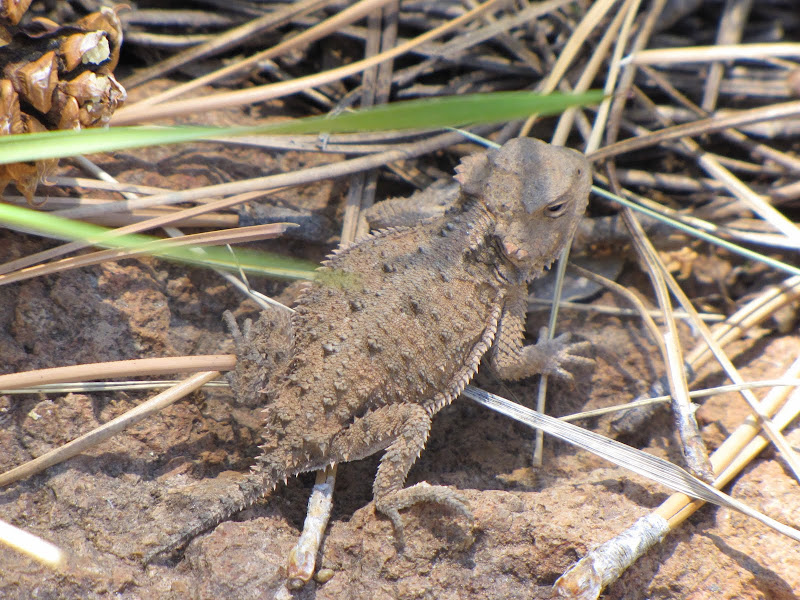
One thing I find quite curious is the existence of horned lizards in a sub-alpine environment. As reptiles it's hard to imagine they'd do well in this climate, but not only do they seem to thrive at altitude they do so in abundance. I have seen many of these spiny creatures sunning themselves on the trail where winter snowfall often exceeds several feet in depth, so they must have a trick or two under their scales.


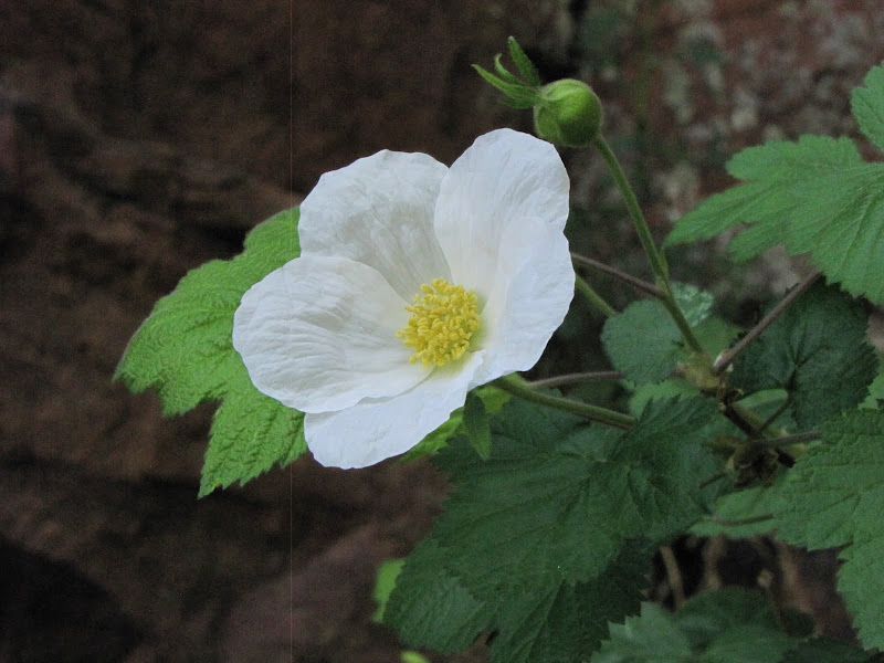
Although we're well into the hike at this point there are two things I should mention about the Weatherford Trail. First the positive. This is an outstanding fall color hike, with expansive views of aspen groves interwoven into somber evergreen slopes. When cool crisp days with electric blue skies feature blazing gold and orange color splashed on a canvas of dark green it's sure to be a memorable experience.


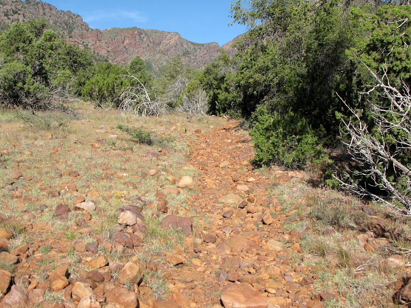
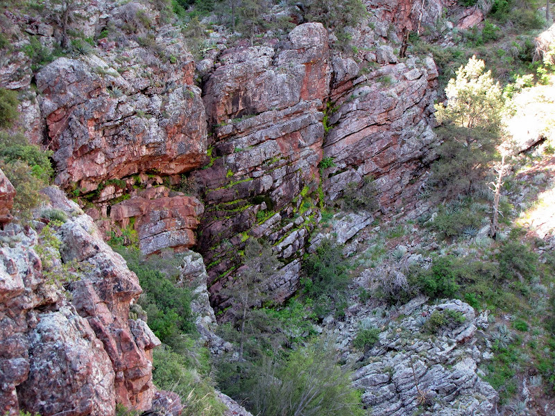
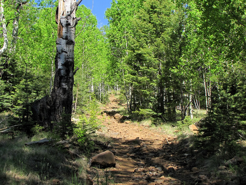
Second is the not so great news. This is by and large the rockiest trail of all the area hikes I've done. I don't meant large rocks embedded in the ground creating an uneven surface. No, what I'm referring to are tens of millions of volcanic clinkers ranging in size from small pebbles to grapefruit, loose and unconsolidated and filling the trail bed from side side for long stretches. If this sort of thing annoys you it's probably best to stay away.

For my part I'm not especially fond of rocky trails, but being outdoors in beautiful environments is my thing, and if I have to stumble around and pick my way oh-so-carefully to get where I'm going then so be it. But I will say that as a "head down full-tilt" hiker, the Weatherford is frustrating because it seems impossible to get any sort of stride or rhythm going due to the ridiculous number of rocks. So, you've been warned.


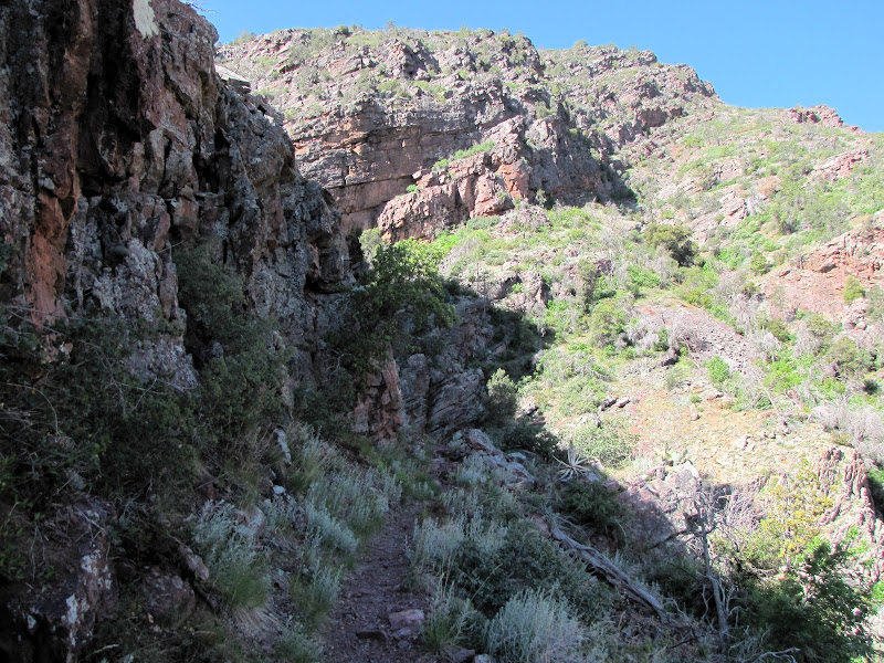
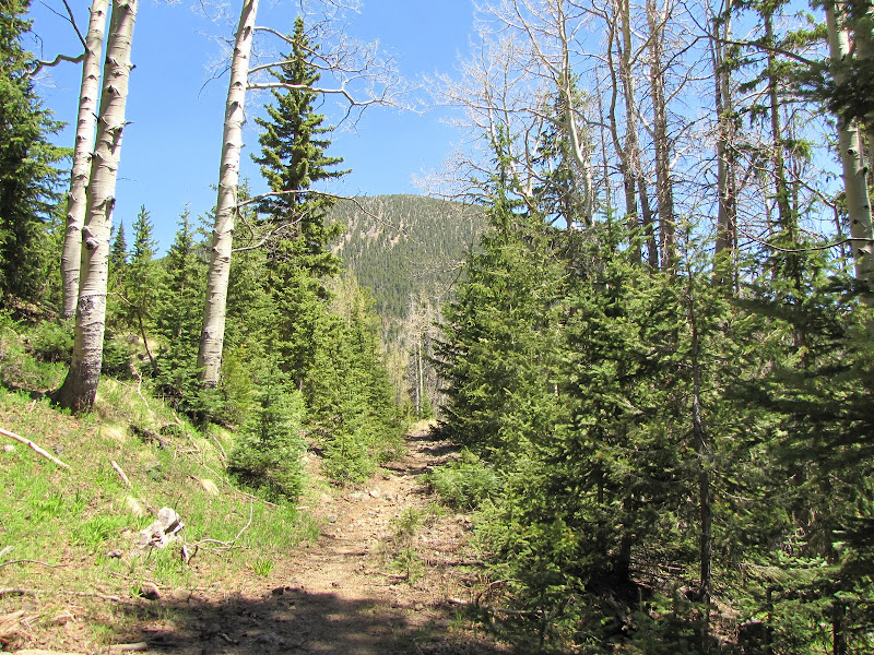
Once the climb begins in earnest, there's not much to see as the trail engages in several very long and unremarkable switchbacks. The forest here is old growth sub-alpine timber, consisting mostly of Douglas Fir ,Corkbark Fir, and Limber Pine dominating a gloomy understory. There is also a good deal of deadfall across the trail, although not so much as to be arduous. And did I mention there were a lot of rocks?


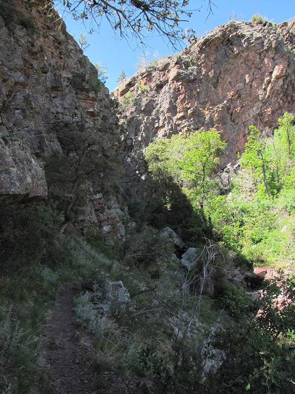
To be sure there are highlights as the path breaks into the open from time to time, revealing tree clad pinnacles supporting the expanse of sky.


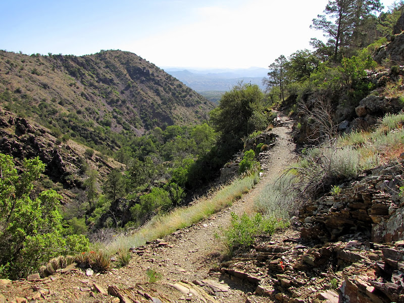
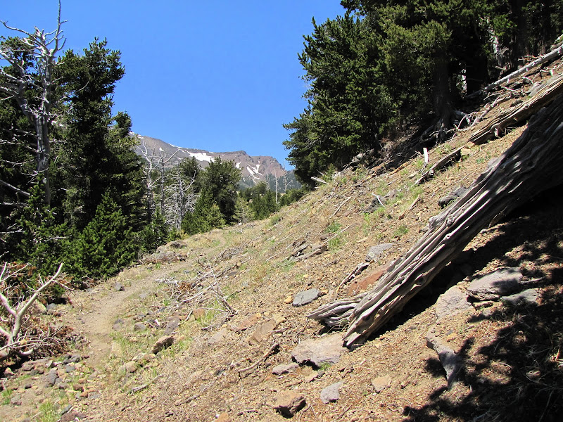
After what seems to be just short of forever, the saddle finally looms ahead. A last rocky switchback leads to an open platform suspended between Fremont and Doyle Peaks. From here can be seen the last remnants of winter snow clinging to chutes and crevices of the Inner Basin.


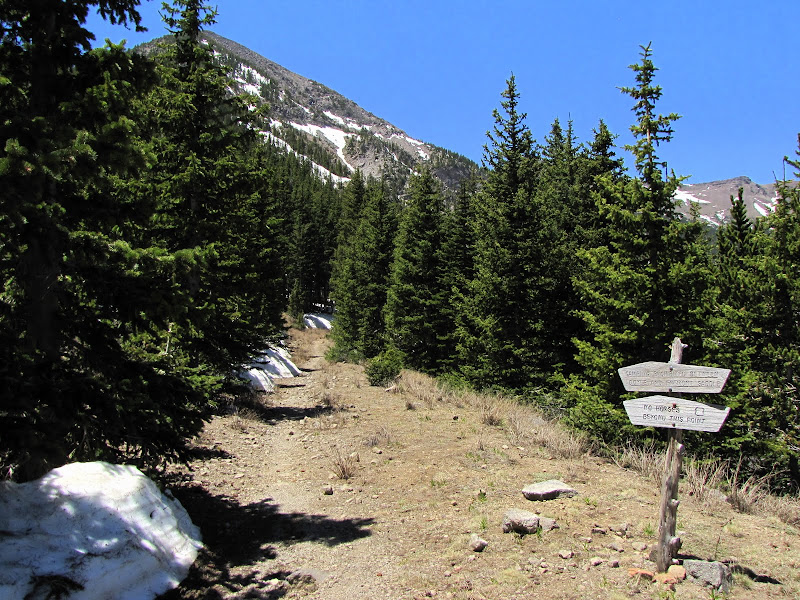
The Weatherford continues on from here, at first staying nearly level for a mile before intersecting with the Inner Basin Trail. It then begins a steady climb to near 12,000 feet where it joins the Humphrey's Peak Trail ascending the western flank of the mountain.


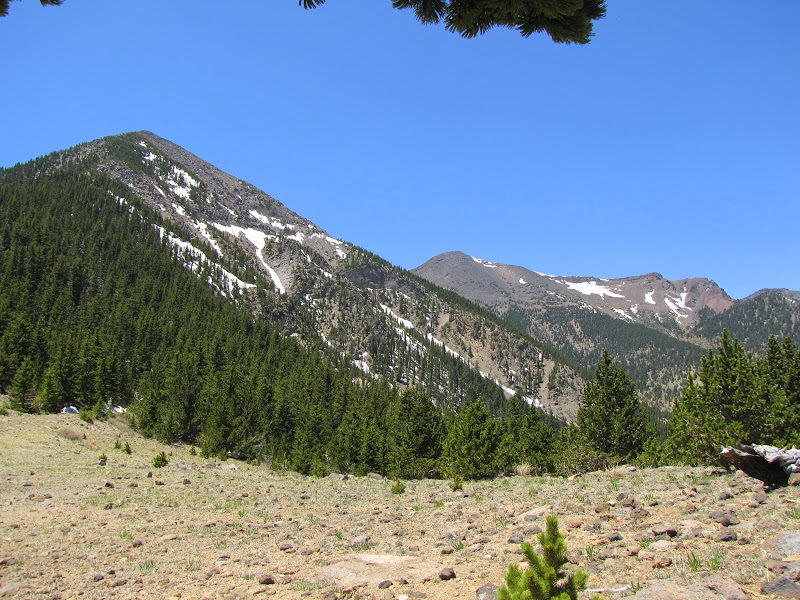
Speaking of Humphrey's Peak, here is a view of the "backside". At 12,633 feet Humphrey's is the highest point in Arizona.


This view shows Fremont Peak in the foreground at just under 12,000 feet, with the summit of Agassiz looming beyond. At 12,345 Agassiz is the second tallest in the range and the state.


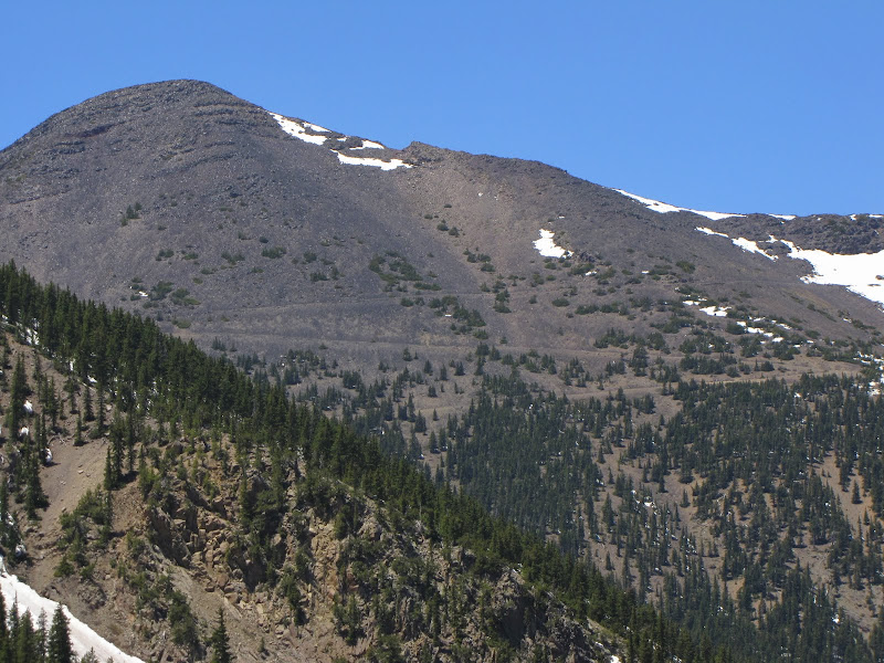
This closeup shows the treeless upper reaches of Agassiz and long zig-zag switchbacks of the Weatherford as it climbs to the saddle between the peaks.


Doyle Saddle is frequently windswept as the mountain funnels upper air currents over and through the passes. Anyone making a overnight journey across the range will appreciate this simple yet effective windbreak - a good place to pitch a tent and have some measure of shelter against the elements.


Many times the journey is what compels the traveler to make the trip, while in other cases the destination provides the motivation. Although I can't say I really enjoyed the rockier sections of the trail, there is certainly enough beauty and serenity here to distract from the minor annoyance of a few stones in the path.

In this instance you get the best of both worlds - a scenic and peaceful walk in the wilderness of Arizona's highest mountains, and a bird's eye view of the "other" side of the Peaks. That should be more than enough reason to get your feet moving up the trail.

Saturday, May 5, 2012

On Foot Part XI - The Barnhardt Trail

With a blog focused on all things Colorado Plateau, I often overlook some incredible landscapes just outside the physiographic boundaries that define the region. In an effort to mitigate some of my neglect I recently made pilgrimage into a remote and beautiful area just south of Flagstaff, the Mazatzals.

Depending on how particular you are about pronunciation, you can say MA-ZAT-ZAL, or try to emulate the locals and say MAT-A-ZAL. Either way this rugged range lies in the Transition zone of Arizona, south of the Colorado Plateau and north of the Basin and Range province, and is characterized by steep and rocky mountains that rise to over 7000 feet from desert grassland foothills. With an area encompassing over 250,000 acres that has been designated as wilderness, access is limited to an extensive network of hiking trails that range from excellent to poor in condition.

Since this was to be my introduction to the area I selected the most popular access point, the Barnhardt Trail (#43). Despite the trail's reputation as a main artery into the wilderness, on this particular day I was the only one there, and I had the place all to myself.

At an elevation just over 4000 feet above sea level, the trail begins on a rocky alluvial bench that flows out of the canyon. Vegetation here is classic high desert, with pinon, juniper, agave, prickly pear, turbinella oak, a variety of cacti, and other drought adapted plants.


This member of the yucca family is sometimes called a "century" plant, arising from the mistaken idea that the plant blooms at the end of a hundred year lifespan. While it is true that the singular event of flowering signals the end of the plant's life, it actually occurs after a period of around 30 years.


The parking area for the trailhead is the takeoff point for several other wilderness trails, so care must be exercised when starting off. In a somewhat embarrassing admission I must relate that when I came through here earlier in the spring with the intention of hiking the Barnhardt, I instead took an unplanned journey for several miles among the foothills before I realized I was on the wrong path. When I returned to my vehicle a few hours later I immediately found the correct trailhead cleverly hidden in the trees just a few steps away from where I began my misguided trek. Oops.

The real trailhead begins with a warning about fallen logs and rolling rocks as a result of the 2004 Willow Fire, which currently ranks fifth in terms of Arizona's largest wildfires. This lightning sparked blaze consumed over 120,000 acres in the range, and left large parts of the landscape nearly barren and lifeless - at least for a while. On the hike I saw plenty of evidence of the resiliency of nature, both in terms of plants and animals.


The first section of trail is characterized by rocks, lots and lots of rocks. Not big rocks you can hop on and over, and not small loose rocks, but rocks like you would find in the bed of a large dry stream.


Fortunately as the trail begins a steady climb away from the ravine, the rocks become less of an issue. At first the grade is slight for a trail which will ascend over 1600 feet in approximately 6 miles, and the lack of tall trees leaves the hiker fairly exposed. I was grateful for the light down canyon breeze which provided just the right amount of cooling on a warm, cloudless mid-spring morning.


After nearly 20 minutes of walking, a sign appeared announcing the official boundary of the wilderness. The arbitrary nature of such demarcations struck me as amusing, since I felt like I'd been in an extremely isolated and "wild" environment from the moment I left the parking area.


The trail follows a ravine, traversing the southern flank of a canyon which dissects the mountain. Stony outcrops of Precambrian granite and schist loom overhead, heralding the rugged and daunting character of the landscape.


The aesthetic and visual appeal of the canyon increases exponentially as you make your way, while another sensual delight unfolds as you hear the sound of a stream hundreds of feet below. Although initially hard to spot, occasional glimpses of inviting pools and ribbons of glistening water appear from above.


I've often about expounded on the importance of water in other posts, as my appreciation for this vital resource was formed by coming of age in the desert. As someone accustomed to the absolute scarcity of what many others might take for granted, the sight and sound of flowing water fills me with gratitude and reverence for what truly represents life or death in this unforgiving environment.

With the presence of water abundant bird song echoed from cliffs and walls. I was pleased to hear a wide variety of calls including one of my absolute favorites, the laughing notes of the canyon wren.

Continuing on, the well established tread of the trail allowed time and miles to flow nearly effortlessly - that is when I wasn't stopping to admire the scenery or the local flora.


Massive rock faces ahead and across the canyon paint vivid pictures of incredible forces that shaped the once subterranean stone. As I contemplate the contorted layers, I recall an author who imbued the bones of the earth with consciousness, albeit a very ponderous and slow awareness.

In his portrayal of this sentience a single thought takes hundreds of thousands of years to form, and given the almost incomprehensible span of geologic time I can see the logic behind this idea. I imagine the stone feeling unrelenting anguish over the tortured bending and folding created by incredible heat and pressure, only now able to take some relief in the balm of fresh air and warm sunshine.


Taking a moment to gaze back across the Tonto Basin it becomes apparent that the trail is gaining altitude. Looking ahead reveals the long steady incline that awaits.


After an extended traverse, the terrain dictates a more aggressive grade in order to surmount a series of steep rock faces. The result is a series of switchbacks that ascend a ridge protruding into the canyon.


Clinging to a west facing wall I noticed this attractive tableau - a cactus garden thriving on a terrace of lichen encrusted rock. The appearance was very appealing to my eye, with muted colors and miniature Zen-like symmetry.


The switchbacks end with a long traverse into a side canyon featuring sheer reddish walls. The evidence of underground water is unmistakeable with the presence of lush vegetation and a profusion of moss growing from the rock face.


Emerging from the cool moist shadow of the ravine the trail once again swings out to the north, revealing a higher vantage point to look back over the canyon and the basin shimmering in the heat beyond.


Away from the canyon walls the trail is once again exposed and grows rockier. I spy a flock of turkey vultures soaring on thermals above me, just waiting for something to die so they can keep on living. I sincerely hope it won't be my turn feed the scavengers.


The path eventually winds back into another ravine, which at first glance appears dry. But as I cross the rocky stream bed, I hear the unmistakeable sound of running water beneath my feet, and glancing up and down the creek reveals a lush ribbon of green life, including this yellow flowering shrub I don't recognize.


Up ahead I encounter a section where a trailside garden of wild Arizona rose is working to take over the path, and for a brief moment the delicate and aromatic scent of roses perfumes the air.


Progress so far is leading to what appears to be the head of a tributary canyon branching off to the south. As the trail rounds the corner another surprise awaits ahead.


The previous side canyons have teased me with the allure of water, but aside from vibrant plant communities and water I can hear but not see, the cool, wet, life giving stuff has proved elusive. Not with this canyon. A series of small pools fed by a waterfall cascading from a pouroff finally fulfills the promise.


After pausing for a bit beside the oasis I continue onwards. I'm near the top on this side of the canyon, and the trail levels out for an extended haul.


I enter an area on the westward facing slope of a wide valley that was once covered in juniper and pinon pine. The Willow fire essentially wiped out the living trees, leaving naked white ghosts of bare branches and trunks. Earlier I mentioned how nature was working to restore the land, and here the void is being filled with an explosion of manzanita.


Looking across the valley, I can see it's at least another mile to the junction with the Mazatzal Divide Trail, which was to be my goal on this trip. But as I reach behind me to grab a water bottle from my daypack, I discover that it's no longer there. I recall a pretty significant stumble about 30 minutes earlier, and realize it probably fell out there (it did).

I'm also experiencing nagging pain in my left leg from a relatively minor injury the prior week, and the idea of crossing an ocean of manzanita isn't so appealing. I have another liter of water, but I decide not to press my luck and make this my turn around point for the day. Besides, I've seen enough to know there will be future visits including a longer stay, probably as a multi-day backpack once I figure out the logistics of water.


Despite the inconsequential setback, overall I am delighted with my experience. Like so many journeys I've made into places I've never seen before I discover more territory that invites exploration, and yet another place that holds the promise of outstanding outdoor recreation.

In the future I won't be so quick to look north to satisfy my everlasting need for beauty and solitude, especially now that I know what awaits here in the wild and remote wilderness of the Mazatzal mountains.