Thursday, October 27, 2011

Chaco Canyon - Compass, Calendar, Ceremonial City Part II

In 9th century Europe, the empire of Charlemagne ends with his death, and the rise of modern nations like France and Germany begins. Norsemen expand their range, taking advantage of a temporary rise in global temperatures to settle into Greenland and Nova Scotia. In the Middle East Arabic scholars invent algebra, and the first glass mirror. In Asia, the T'ang Dynasty has collapsed, replaced by the Sung Dynasty. And in North America, the rise of an advanced culture using sophisticated architecture and celestial observations begins on the Colorado Plateau.

These were the Chacoans, ancestors of today's Puebloan tribes. For 300 years under the southwestern sun a community of people farmed the fertile bottomlands of Chaco Canyon, using observed movements of the sun, moon, and stars to plant and harvest crops. At least that is the theory. Since no written record or history is available to document the daily life of the inhabitants, archaeologists and paleontologists must infer practices and habits from in situ evidence left behind. Fortunately there is a great deal to work with.

I introduced Chaco Culture National Historical Park in an earlier post, focusing on two of the larger and better known Great Houses - Pueblo Bonito and Chetro Ketl. These magnificent examples of Chacoan engineering and craftsmanship are located in the core of the valley, sometimes humorously referred to as "downtown" because of the density of sites found in the area. But remnants of this civilization are far flung, covering a wide region including areas outside Chaco Canyon. This blog entry features some of the other structures found in the Park.

Wijiji

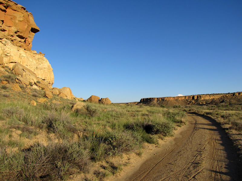
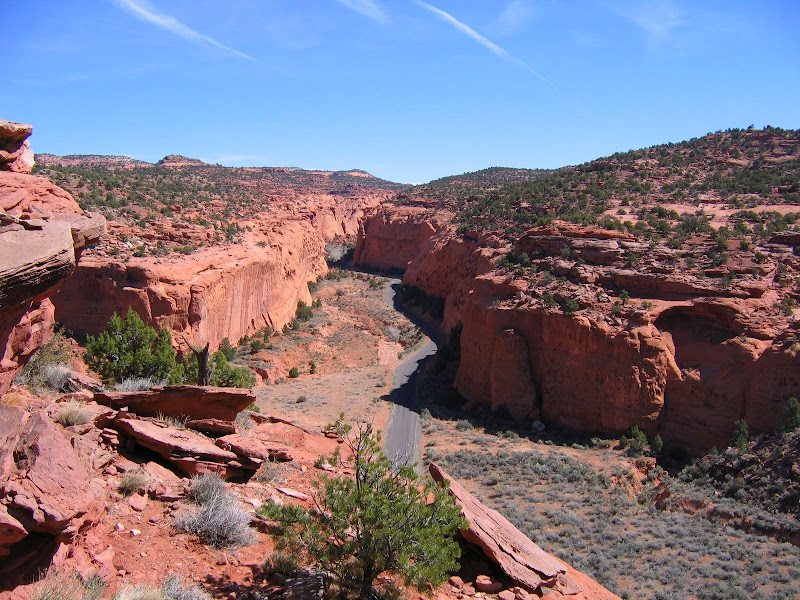
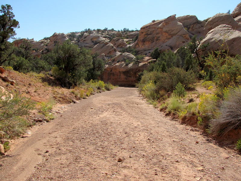
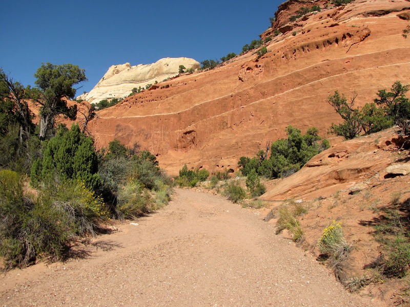
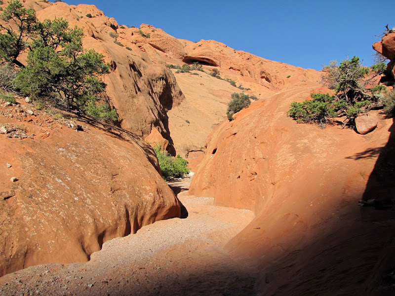
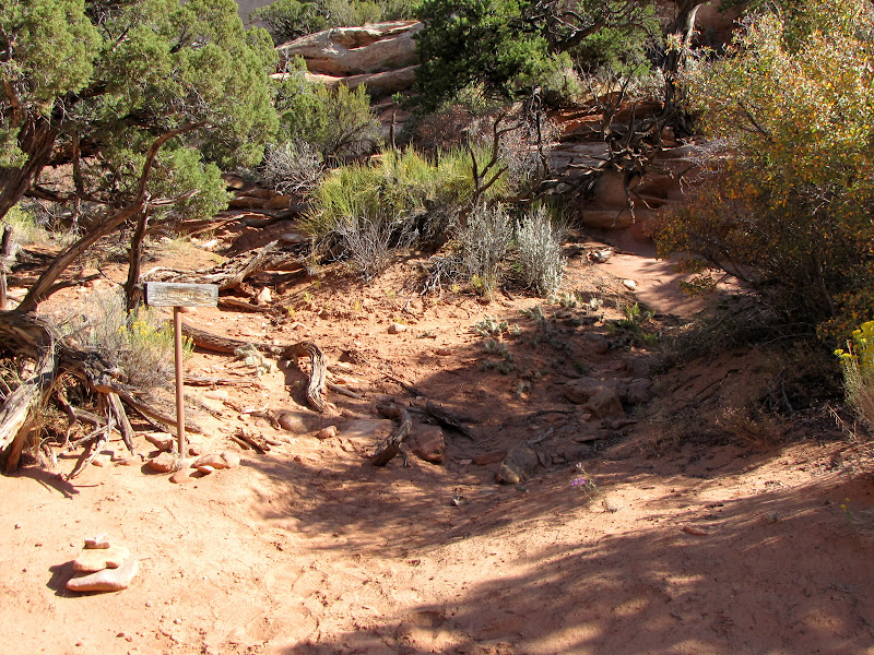
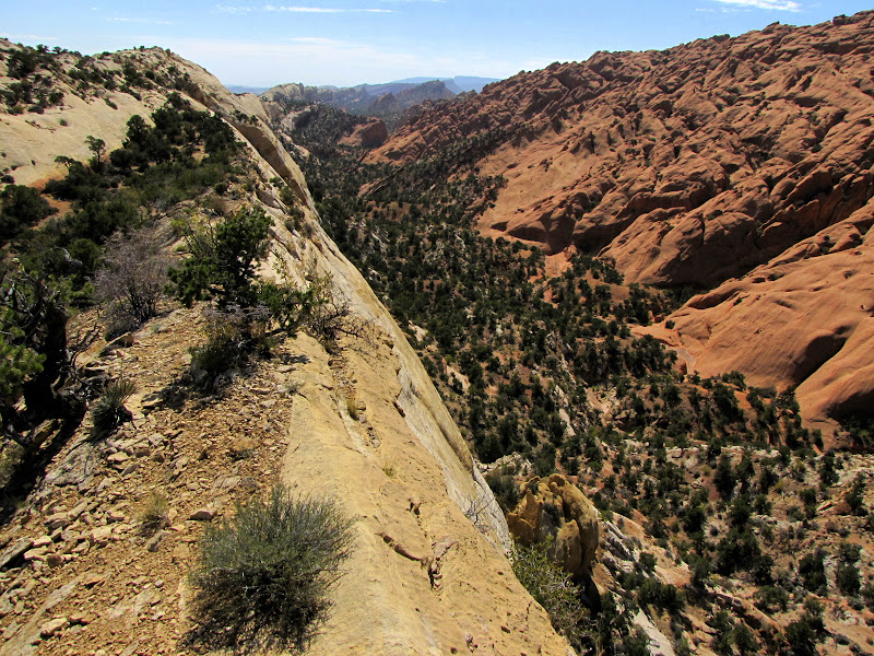
The larger and better known Great Houses are located in close proximity to the Loop Road, which is the 9 mile long main Park artery. However some sites cannot be reached with an automobile, and are located in the Park backcountry. Wijiji is one such place.

Like many other places in the area the name comes from the Navajo language.  It is adapted from the word for greasewood, which is diwozhii. Navajo people migrated to the region in the 1400's, settling in lands that at the time were unoccupied.  Many families still live throughout the region today. especially to the west on the sprawling Navajo Reservation.

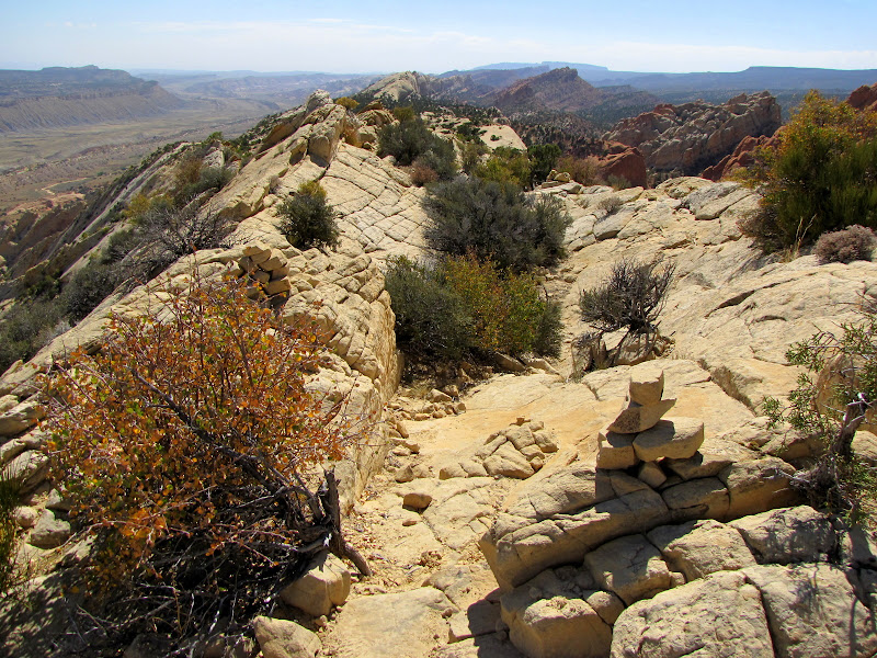
Utilizing a service road that is also open to bicycles, reaching Wijiji is relatively easy.  The trailhead is located in close proximity to Gallo Campground, making for convenient access to campers.  Roundtrip the distance is 3 miles over level terrain, although no shade exists so it could be quite warm in summer.

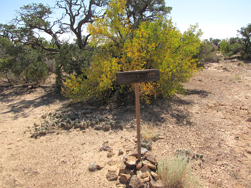
Just a note - A free backcountry permit is required for this and all trails in the Park, which is available at the Visitor Center or the trailhead itself.


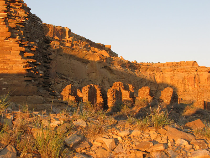
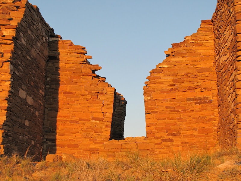
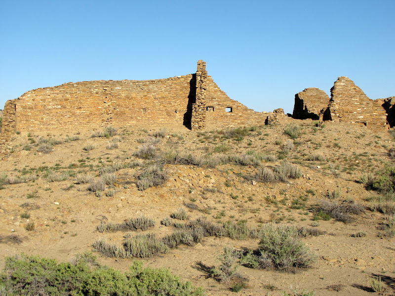
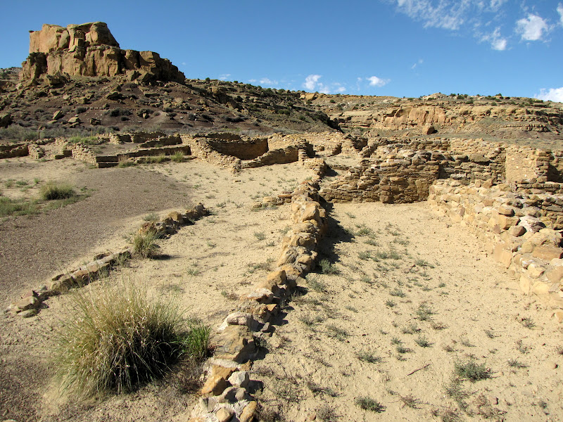
Wijiji blends in so well with the surroundings it can be hard to spot until you are right on top of it. Low, crumbling walls of sandstone match perfectly with the rubble beneath the canyon walls.


Dated to around 1110 A.D., this is one of the youngest Great Houses, and it remains unexcavated At the time of construction, 225 rooms were built around 2 kivas. Situated on a foundation of sand and clay instead of stone, it has suffered structural problems from a shifting base.

There are some curious differences between Wijiji and other Great Houses in that it lacks a Great Kiva, a refuse midden (trash heap), and an arch of connected rooms enclosing the plaza. These missing features lead some researchers to speculate that the pueblo was never finished.


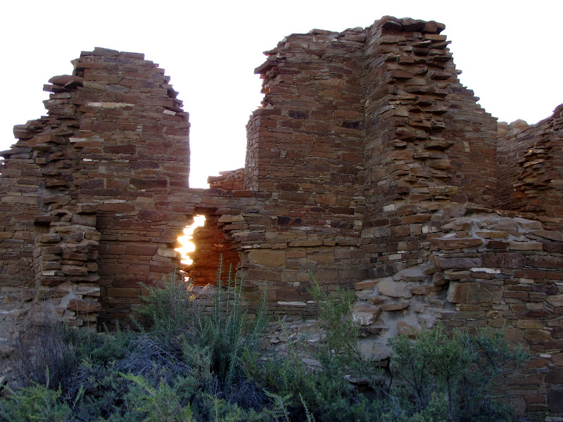
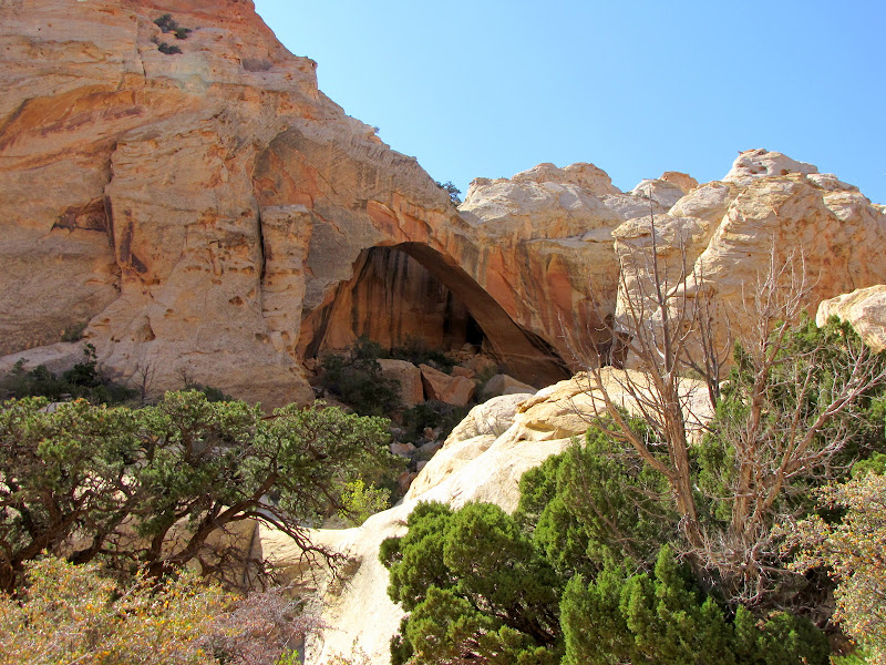
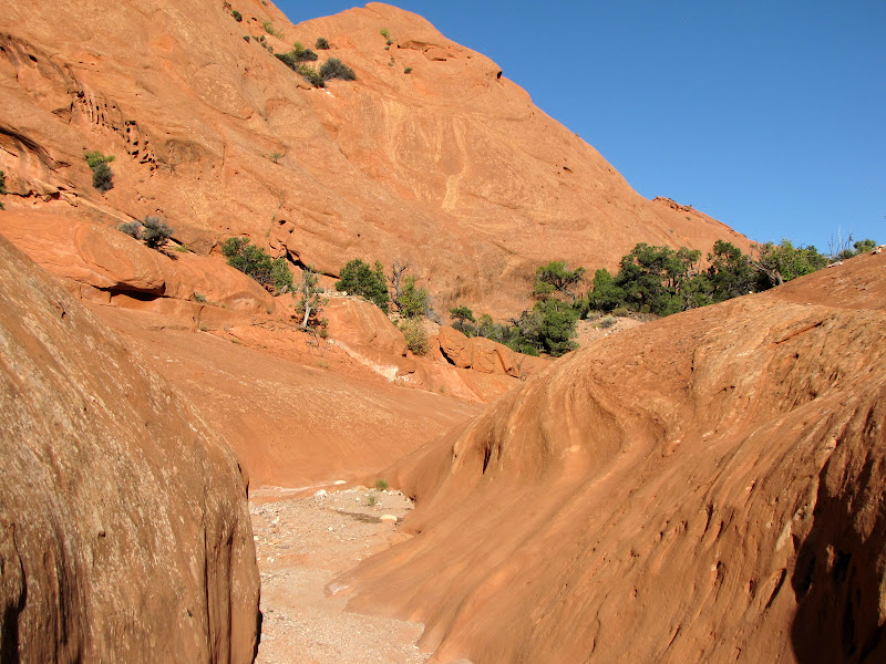
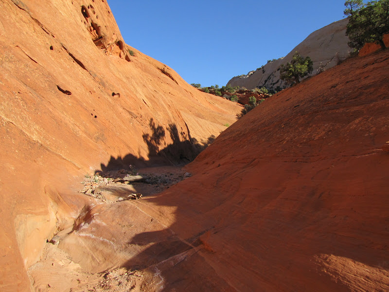
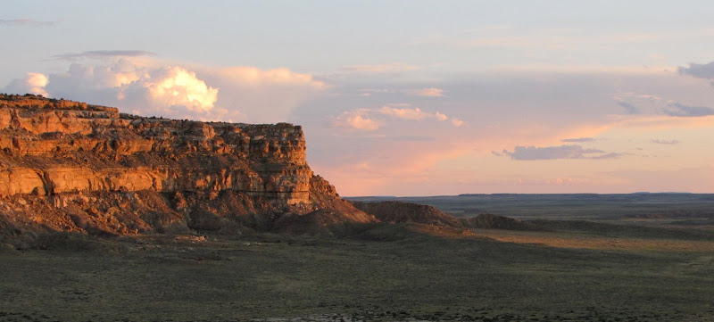
Wijiji is a quiet place, remote from other sites.  The beauty of the canyon setting allows the visitor to experience the power and presence of the natural world much the way the builders must have felt it.


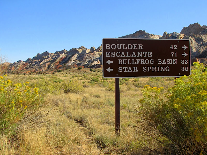
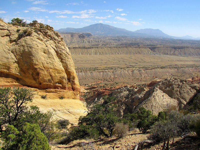
About 12 miles east of Wijiji is another Great House called Pueblo Pintado (spanish for "painted town") which is not accessible from within the Park. It was the first Chacoan structure encountered by anglos during the 1849 military survey of the region.  It was built around 1060 and unlike Wijiji shows signs of human occupation.

Pueblo del Arroyo

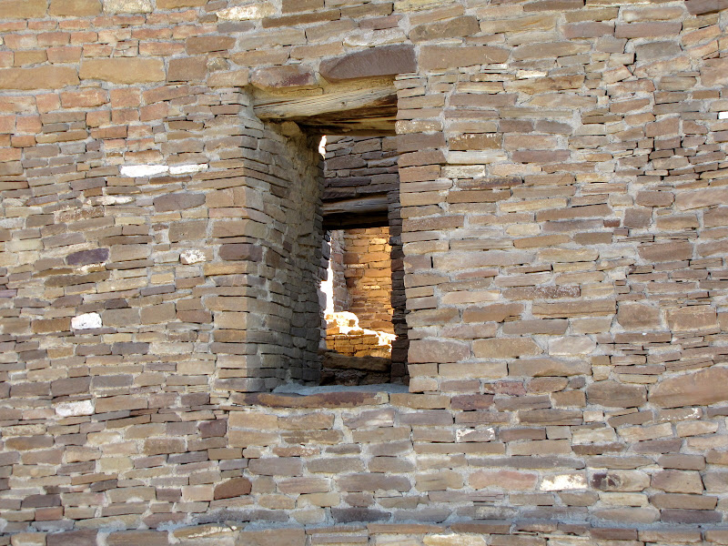
Pueblo del Arroyo (spanish for "town by the wash") is located in the core area of the Chaco complex, not far from Pueblo Bonito. One of the chief features which distinguishes this Great House from others is its location - in the center of the valley away from the canyon walls.

Built in at least two stages over a hundred year period from 1025 to 1125, the structure contained 280 rooms and 20 kivas, but lacked a Great Kiva. Exploring the ruins is made easy with a 1/4 mile paved walking trail which circumnavigates the walls.


I did a doubletake when I first spotted this "camouflaged" rain gutter - technology beyond the scope of Chacoan culture.  The Park Service mandate requires preservation and stabilization of the ruins, and part of that effort is to minimize environmental damage. While I was visiting, I witnessed several Navajo masons doing restoration and repair work on the walls at Pueblo del Arroyo, using the same materials and techniques as the original architects.


Casa Rinconada

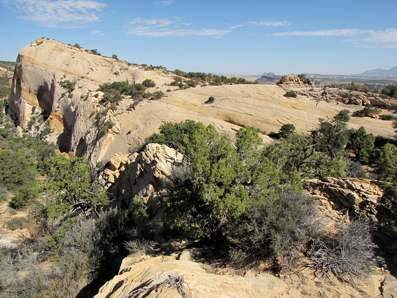
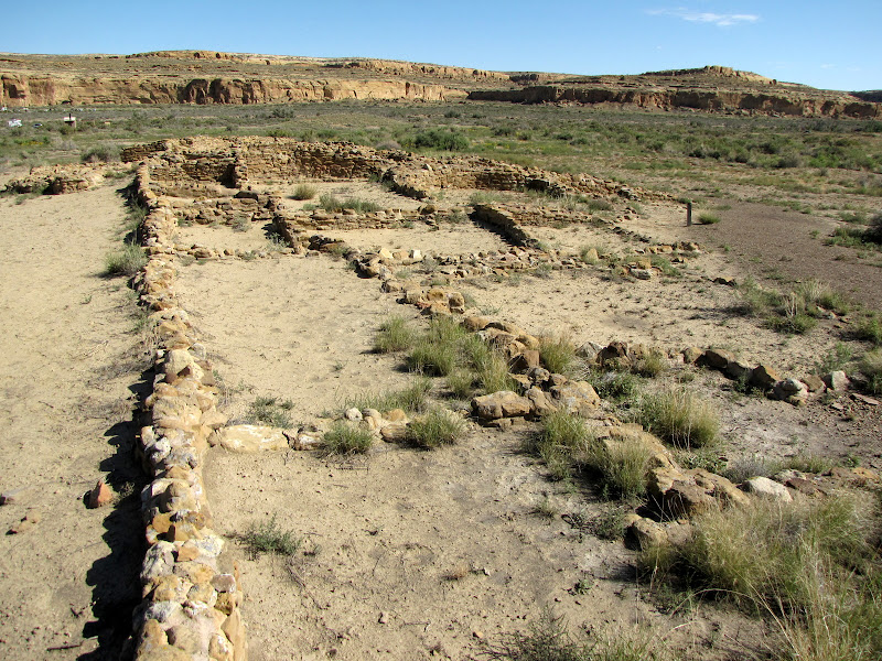
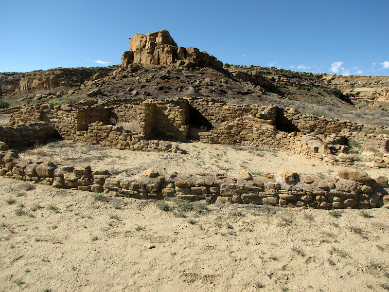
On the south side of Chaco Wash lies the largest Great Kiva found in the area. The site is found along the Loop Road, and is known as Casa Rinconada, or "corner house" in Spanish.

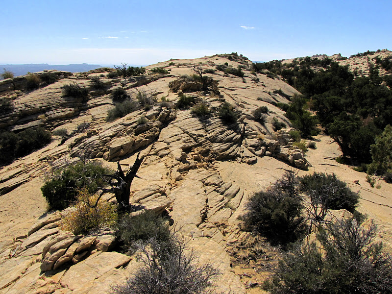
This impressive semi-subterranean ceremonial chamber exhibits a very precise orientation to points of the compass, with opposing doors lying within less than 1 degree of true north-south.  This line can be continued to connect with Tsin Kletzin to the south and Pueblo Alto to the north, two Chacoan Great Houses located above the canyon on the mesas.  This line also coincides with the network of roads extending beyond the canyon, which is another impressive Chacoan accomplishment I'll cover later.


Additionally, window apertures lining the interior wall of the kiva lie within 1 degree of an east-west axis.  The ability to fix cardinal directions with such accuracy indicates the depth to which the Chacoan culture was able to study the heavens and understand the patterns associated with them.

It is also believed but not wholly proven that some of the alignments of apertures and doors within Casa Rinconada played a role in measuring the solstice, allowing for accurate forecasting of the seasons.


Unlike Great Kivas associated with a structure containing rooms and a plaza, Casa Rinconada stands alone, although several smaller villages that were built and occupied around the same time as the Great Houses across the valley are located close by. 

A 1/2 mile walking trail allows for an exploration of the kiva and surrounding structures. Most of what remains of the villages are low walls that once enclosed multiple room buildings scattered on low hills south and east of the Great Kiva.


Over 1200 years ago a civilization emerged from the high desert to establish a well developed society, one that lived in harmony with its world. Though not sophisticated by modern standards, these people were masters of the environment, using astronomy and engineering to build structures that embodied the knowledge they had achieved.

We still don't know what purpose or meaning they intended with their elaborate and extensive architecture. But we do know that they were keen observers of all that happened in their world, and they used that awareness to create a society that lasted for nearly 300 years, and a legacy that endures to this day.

With all our science and technology, can we do better?


Chaco Canyon - Compass, Calendar, Ceremonial City - Part 1

Chaco Canyon - Compass, Calendar, Ceremonial City - Part 3

Navigating Capitol Reef - Upper Muley Twist


Muley Twist. Whoever named this strikingly beautiful canyon in the southern end of the Waterpocket Fold surely had a sense of the whimsical, for just saying "Muley Twist" out loud conjures up a mental picture worth savoring. The story goes that the canyon is so tight in the narrowest sections it would "make a mule twist" as it passed through. Maybe so.

There are two sections to the canyon, designated Upper and Lower Muley Twist. Both can be accessed from the Burr Trail where it bisects the Fold. This post is dedicated to Upper Muley Canyon - I'll cover Lower Muley Canyon at some point in the near future.

The trail to Upper Muley Canyon begins at the parking area for the Strike Valley Overlook. Visitors can reach the turnoff to the overlook in one of two ways. Coming from the west, take the Burr Trail from the town of Boulder off Utah Highway 12. This very scenic route is paved for about 30 miles until the boundary of Capitol Reef National Park, where it then turns to dirt and gravel. From this point it is an additional 2.2 miles to the junction.


The other access is from the east via the Bullfrog - Notom Road, which begins about 10 miles east of the Capitol Reef Visitor Center on Utah Highway 24. This equally beautiful drive is paved for the first 10 miles, then becoming graded dirt for the next 22.5 miles. At the signed junction with Burr Trail, head west (right) up the switchbacks. This approach can quickly become impassable during wet weather, so be sure to check with Park Service personnel before heading this way.


Look for a wooden Park Service sign to the west indicating the turn for Upper Muley Twist. The spur is marked "4 wheel drive", and under some conditions this is probably true, but after extended dry periods a high clearance vehicle is sufficient.


If you aren't comfortable negotiating 2.8 miles of sandy, rocky washbottom in your car or truck, a parking area with a trail register is found .4 miles from the turnoff, although starting from this point adds nearly 5 miles of additional walking to the 9 mile hike. Whether you continue to the trailhead on foot or by vehicle, there is plenty of fantastic scenery to absorb along the way, including two of the seven arches you will see on this trip.

The first appears near the beginning of the spur road, and is seen in the picture at the top of this post. It is a "peekaboo" arch cut in the Navajo sandstone. The second is shown below, and is found just west of the road about half way to the trailhead. As of this writing I have yet to discover the names of these two features.


After nearly 3 miles, the road comes to an end at the small parking area serving as trailhead for both Upper Muley Twist and Strike Valley Overlook. Park here and head upstream (north) in the wash bed.


Walking is easy in the broad, sandy wash. The high canyon walls remain well off the path at first, with alternating low slopes of both Wingate and Navajo sandstone forming slickrock benches along the way. Vegetation consists of classic Utah high desert, with dark green pinyon and juniper trees contrasting nicely with the whites and oranges of naked rock.


At around 1.5 miles from the trailhead, Muley Arch appears on the west wall.


Soon the walls begin to narrow considerably, with sections of Wingate again forming low terraces along either side of the channel.


The graceful arc of Saddle Arch soon appears on the west, near a junction with the trail that descends from the spine of the Reef. This is where the hiker must choose which path to take.

Hikers with previous experience on this trail suggest a clockwise route; this direction makes the elevation gain seem less arduous, and there are a few sections where a friction ascent/descent of the slickrock are required. For some the perception is that it's easier to climb than it is to come down, but it's all a matter of personal preference.


After hiking it for myself I agree with taking the left (clockwise) leg, and recommend staying in the canyon bottom to continue north. The payoff in terms of scenery is almost immediate, as a drainage enters from the west flanked by two arches high on the Wingate slopes.

First on the left is a small arch with a tree growing below it:


Then on the right is another small "eyebrow" arch:


Beyond the drainage the canyon has narrowed a bit, with a shallow Wingate trough framing the wash bottom, and a high wall of Navajo sandstone on the east. In dry weather negotiating this section is relatively easy, but accumulating rain or snow will fill several shallow basins along the way, meaning either wet, muddy feet or a bypass on the slope to the right.


Another very scenic but short slot canyon enters from the west, with yet another arch on the northwest wall. This arch is not yet fully formed, being still connected to the main wall in the center. So technically, it's a double arch, but who's counting?


Beyond this point the canyon walls close in, pinching off to a narrow slot. Most hikers can continue on for a few hundred yards, while experienced technical canyoneers can go some distance beyond that, but all visitors must eventually retreat, for there is no way through.


Instead, the trail now leaves the canyon bottom and heads straight up the steep, rocky shelf to bypass the restriction.


The path makes its way along the somewhat exposed ledge above the narrows, winding across boulder strewn slopes amidst pinyon and juniper scrub.


On the opposite canyon wall distinctive "marblecake" humps draw the eye.


Looking down, a thin ribbon of green cottonwood trees marks the canyon bottom.


After a fair bit of scrambling along the talus beneath the high walls, the trail deposits the hiker back in the wash bottom at the end of the impassable narrows.


A few more minutes of walking along the sandy wash leads to another detour, this time to exit the canyon along a fault line route to the rim.


As you make your way to the top of the Navajo formation, the path offers sweeping views up and down the canyon.


On top of the Waterpocket Fold, a very impressive sight is unveiled - the long panorama of Strike Valley, with the Henry Mountains rising majestically over Oyster Shell Reef.


To the west uplifted Wingate sandstone domes and humps dominate the scene.


From here, the trail follows the spine of the Reef, traversing long stretches of slickrock alternating with sandy islands of pinyon and juniper. Keeping track of the trail relies on the placement of many cairns along the way, some of which may be difficult to spot.


High on the ridge the views are endless, and many opportunities arise to simply stop and survey the tilted landscape. The crossbedded sandstone adds an intriguing pattern to the visual feast, and offers a smooth sloping surface to take a moments rest.


At one point there's a break in the Fold, necessitating a sudden descent along a loose, rocky section followed by a friction climb up an equally steep slickrock face.


Back on top the amazing scenery continues to entrance as the path follows the contours of the Reef, at one point dropping once again to a sandy bench before climbing back to the rim.


Looking west, two arches flanking the drainage that were seen earlier from below appear across the canyon.


After two miles of more or less following the crest, the trail reaches the sign marking the descent and return route to the canyon floor.


As you make your way back to the wash bottom amongst the detritus of the eroding slopes, be sure to take one last look at the terrain covered on this southern leg of the journey.


The trail returns to the wash bottom near Saddle Arch. From here it's an easy two miles back to the beginning. Although the path passed this way earlier, the opportunity to see the surroundings from a downstream point of view offers a new perspective.


There are many amazing hikes in Capitol Reef National Park that allow visitors to view the incredible geology and geography of the Waterpocket Fold, and Upper Muley Twist is one of the best. It might be a little harder to get to than most, but that's part of the appeal.

You might remember Chubby Checker singing his famous tune: "C'mon baby.... Let's do the Twist." Take his advice, it'll do you good.