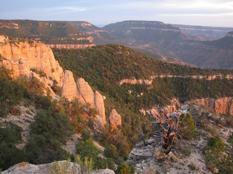
 Canyons and plateaus dominate the geographical landscape of the Four Corners region, with relatively level layers of stone forming the canvas on which nature has sculpted amazing works. In this predominantly horizontal region sparsely scattered mountain ranges rise above the horizon, and they play a key part in shaping the unique environment, with lofty heights capturing snow and rain that feed streams and rivers.
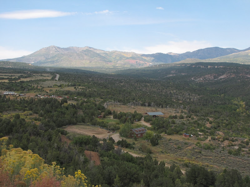
 One such prominence is located in southeastern Utah, and is called the Abajo Mountains, or Blue Mountains as the locals prefer. The name Abajo translates from Spanish as "low", in general referring to the height in comparison to the much taller Rocky Mountains found to the east. Even so, at 11,360 feet above sea level Abajo Peak provides a commanding view of the surrounding area, including Dark Canyon and the southern expanse of Canyonlands National Park.
Similar to other mountains of the Colorado Plateau province, the Blue Mountains owe their existence to the roiling and churning of molten rock beneath the surface. Igneous intrusions of magma called laccoliths rose from the depths, forcing the overlying stratigraphy to bulge upwards. As the elevation of the dome increased, so too did the erosive force exerted by water, and in places the upper layers have been stripped away entirely, exposing naked granite and diorite. It is here we find our next outing.
The Skyline Trail
 The Abajo Mountains are located in the Manti-La Sal National Forest, an area which provides many opportunities for recreation. Hiking is one of those activities, and there are multiple trails to choose from on and around the mountains.
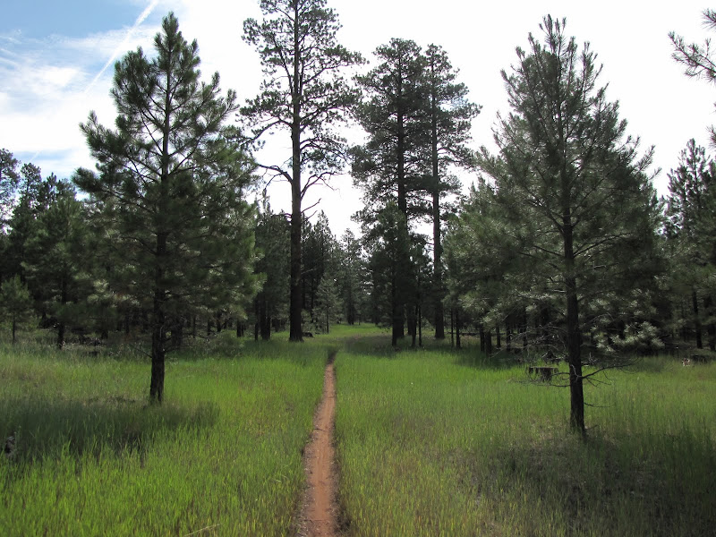
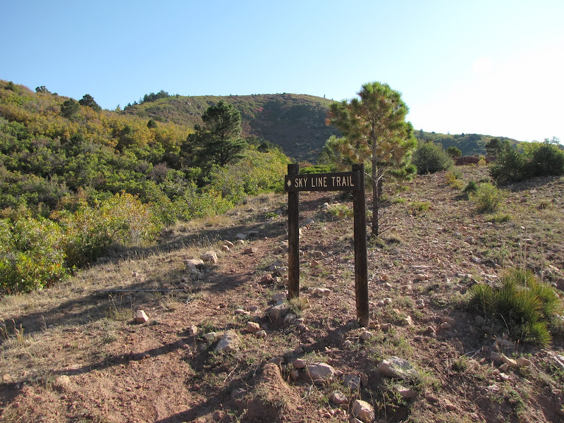
 The Skyline Trail is a great selection for a day trip, climbing up the flanks to eventually traverse just below the ridgeline in a generally east/west orientation. At the upper elevations the trail provides excellent views across hundreds of square miles of ruggedly beautiful and wild country.
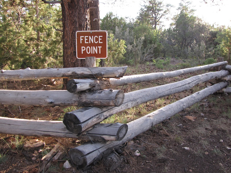
The Skyline Trail links with other routes along the way, offering opportunities for extended trips, but this hike is focused on reaching the summit of Mt. Linnaeus at just over 10,900 feet. The trailhead is located along a section of F.S. Road 088 called The Causeway. The road is in generally good shape, although like all canyon country roads wet weather can cause problems. It also sees a fair amount of use from ranchers and OHV riders, though solitude is easy enough to find on one of the secondary roads branching off into the forest. It is also closed for much of the winter due to snow, so check locally in Blanding for conditions before heading out.
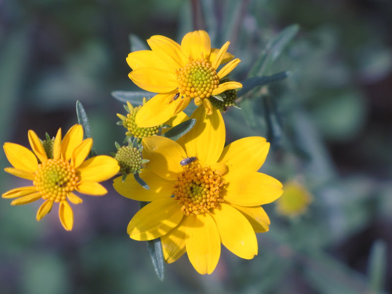
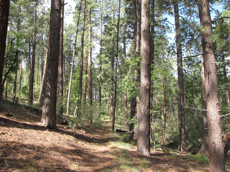
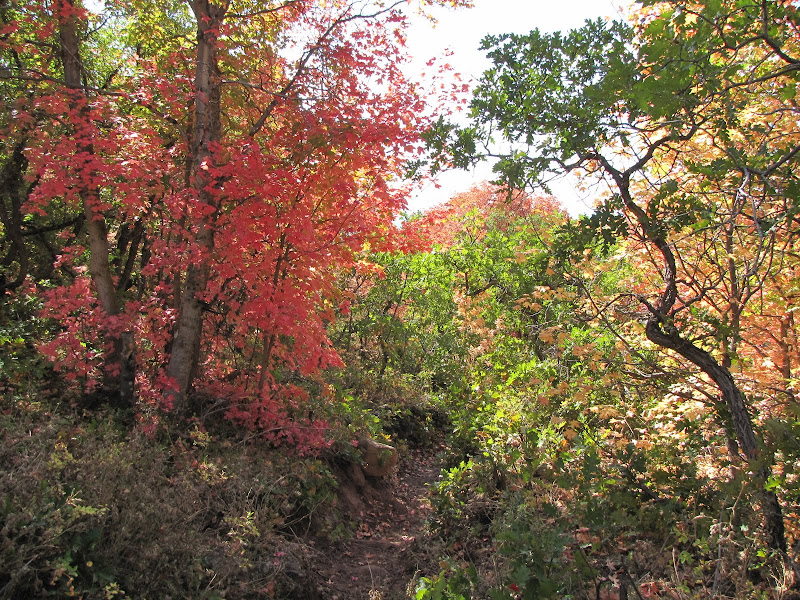
There is parking near the trail sign, and from there the path wastes no time heading up. At first the south facing slope is heavily vegetated with sugar maple and scrub oak, and the grade is fairly steep. Within about a 1/2 mile the canopy closes in, limiting the view to the immediate surroundings.


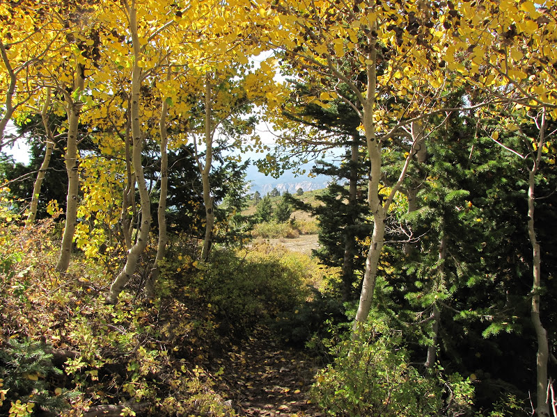
Eventually the trail settles into a ravine bisecting the hills, and oak gives way to stately aspen, with smooth white-barked trunks forming a colonnade along the path. Soon a corral appears ahead, confirming the past and present use of the area for cattle grazing.

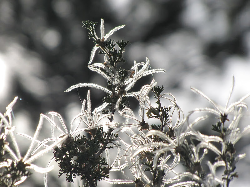
I've visited the area in summer and fall, and there is something magical about how light filters through the serrated leaves of the aspen. A soft, diffuse glow scatters through the trees, instilling a sense of peace and creating a tranquil environment.

Of course cattle are not the only inhabitants found in the woods. This buck was trying to stay out of sight as he watched over his harem of does foraging plants and grasses nearby.

The incline continues straight ahead before finally making a switchback near the saddle. Turning generally south the grade becomes a bit steeper, and many gnarled and camouflaged tree roots lie in wait across the path, all seeking to trip the unwary hiker.

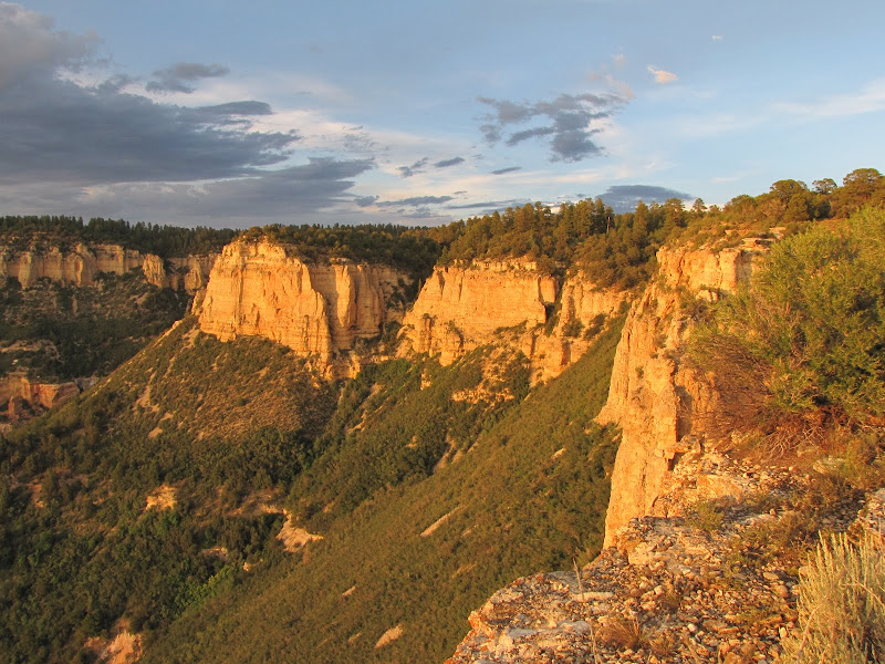
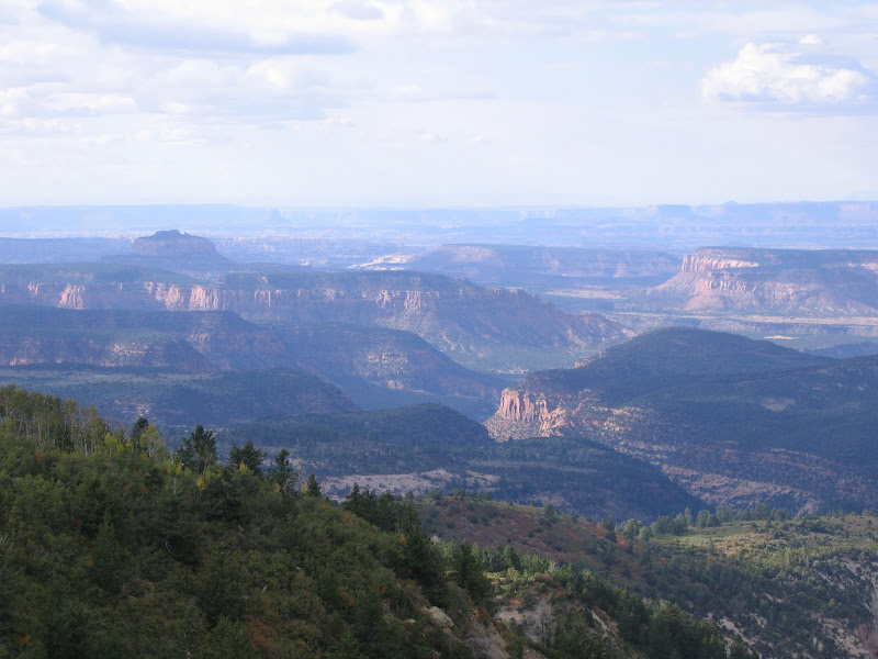
After a lengthy ascent the trees recede, revealing a long traverse across the ridge line towards the east. Here on the stony shoulders of the mountain low thickets of scrub oak determine the path forward. This is also the first time since beginning the climb that unfettered views of the surroundings appear.
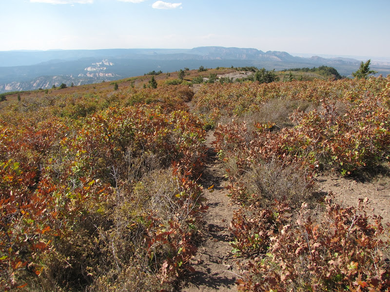
Directly ahead lies the bulk of Mt. Linnaeus, while to the north is Tuerto Canyon. The path is straightforward and easy to follow, with the goal clearly in sight some miles ahead.
Hiking along the spine of the mountain with unobstructed views to the north and south demonstrates how well named the Skyline Trail is. On a clear day the horizon extends for a hundred miles in nearly every direction, and the rugged geography of the region compels the eye to linger over the details.

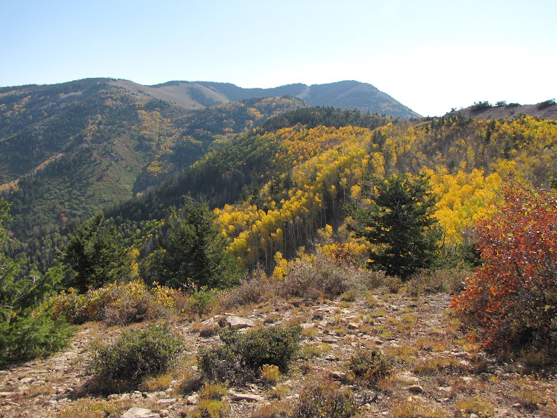
The ridge turns to the north and the trail briefly plunges back into the woods. The effects of microclimate are displayed in this northwest oriented slope, with fir and spruce trees hugging the cooler wetter aspect.

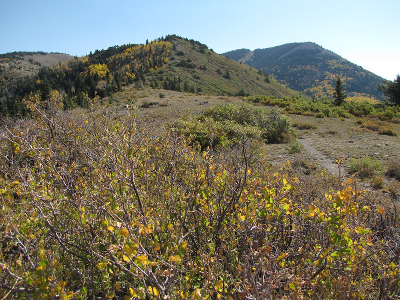
A short spur connects with a narrow saddle, which then contours into an open bowl below Bob Park Peak.

Hunting season usually occurs during the fall, and on this visit I saw these horsemen traveling cross-country in search of elusive elk.

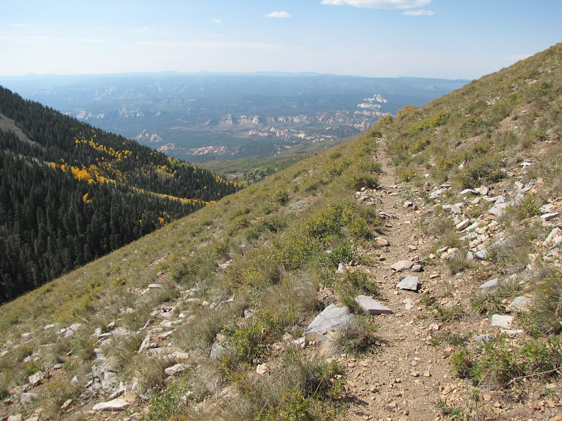
Staying high up on the southern slope, the narrow trail clings to the side of the mountain, winding in and out of several small gullies. The steep incline of the terrain means frequent winter avalanches, and scattered pockets of aspen and spruce grow in defiance of the odds.


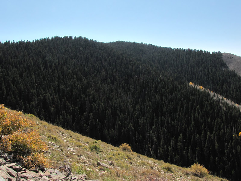
Looking south, the unremarkable summit of Mt. Linnaeus is heavily cloaked in trees. Making the final approach means leaving the open sky behind and enter the shadowy realm of the sub-alpine forest.

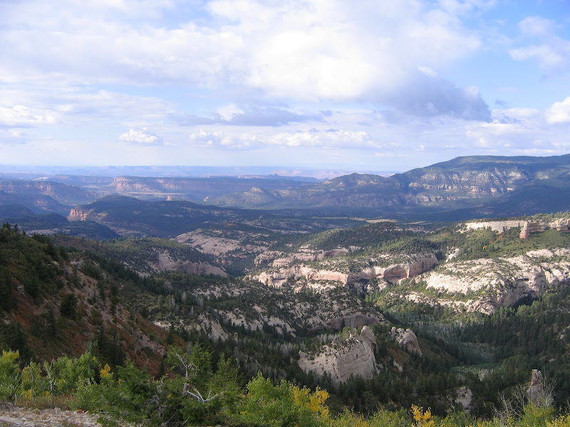
There is no physical trail to the top of Mt. Linnaeus, just a suggestion of a route through the forest. At this point the climb is nearly over, with little to gain terms of elevation. Unfortunately there is little to see at the actual summit, since the trees completely obscure the view. There is however a small rocky clearing just before the peak which allows for good views to the east and west.


In this case the journey has certainly been more of a highlight than the destination, but that's alright. Hiking the Skyline Trail is an excellent showcase of the best of what the Colorado Plateau has to offer, with beautiful high elevation mountains and forest towering over deep and colorful canyons and plateaus. Who could ask for anything more?