I often wonder how place names came to be, especially those including reference to death. In Utah there are many locations bearing names that focus on mortality, including Death Ridge, Death Canyon, and several Death Hollows, one of which I covered here and here.
When I came across yet another variation on morbidly nomenclatured geographical features in the form of Little Death Hollow, I realized how common it was for early settlers facing loss to mark the place of their misfortune. I want to know why someone was motivated to bestow the name, but was unable to discover why this particular location is associated with tragedy.
Despite the dire name, modern humans have no reason to fear Little Death Hollow. The canyon is one of several tributaries of the Escalante River system, along with Deer Creek, Horse Creek, and Wolverine Canyon, all of which can be accessed from the Wolverine Loop Road. Hikers will find many options for exploring wild and scenic slot canyons here, with multi-day backpacking loops or there-and-back outings for single day excursions. In this post I document a hike about 2/3rds of the way into Little Death Hollow, stopping short of the confluence with Horse Creek downstream.
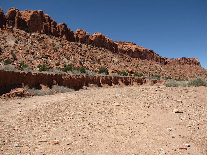
The entrance to the hollow is found 13 miles south on the western leg of the Wolverine Loop. The inconspicuous parking area has but a single sign marking the trail, but the direction is fairly obvious.


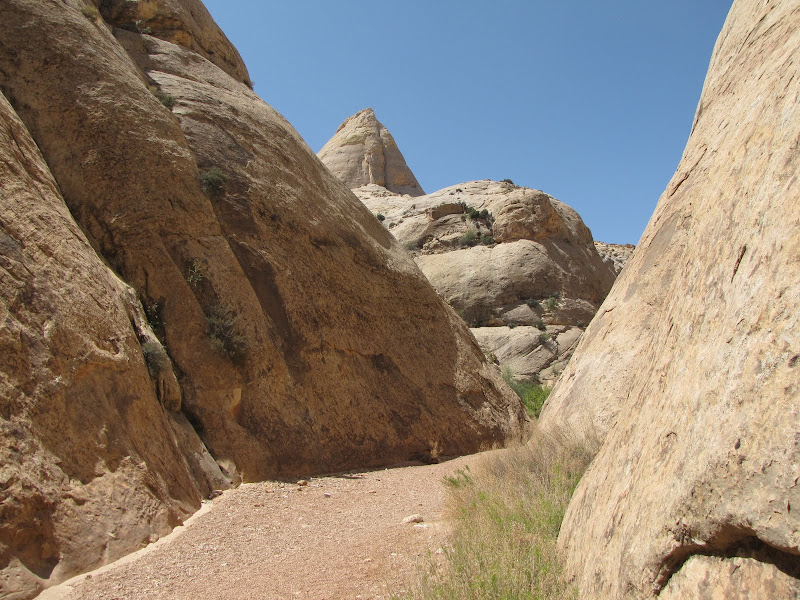
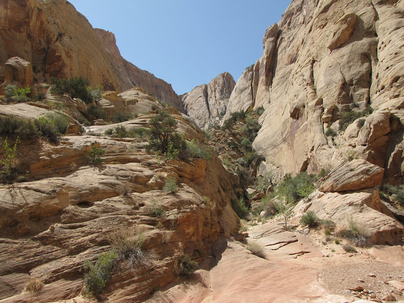
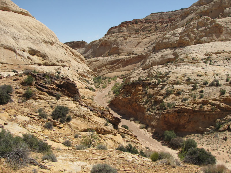
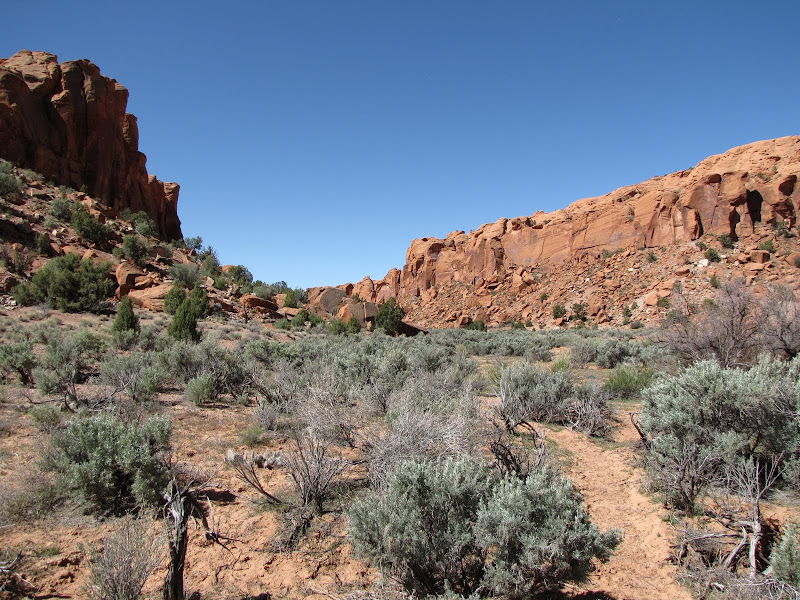
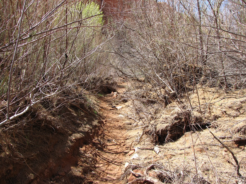
Like the hike into Wolverine Canyon, the landscape here is open and flat, with ridgelines to the north and south which slowly converge to form the boundaries of Little Death Hollow. Cattle are grazed on this BLM land, and these bovines wander back and forth through the canyon bottom, keeping a wary eye on me as I pass by.

The trail meanders along, sometimes in the dry wash bed and sometimes on the benches populated with sagebrush and rabbitbrush.

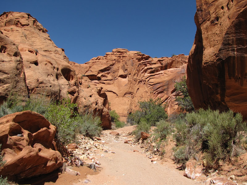
Heading west the canyon narrows, with walls of reddish brown Wingate sandstone resting on scalloped beds of the Chinle formation, a multicolored pastel palette of clay. Scattered detritus from crumbling cliffs litter the slopes, and large chunks of rock rest comfortably among the junipers.


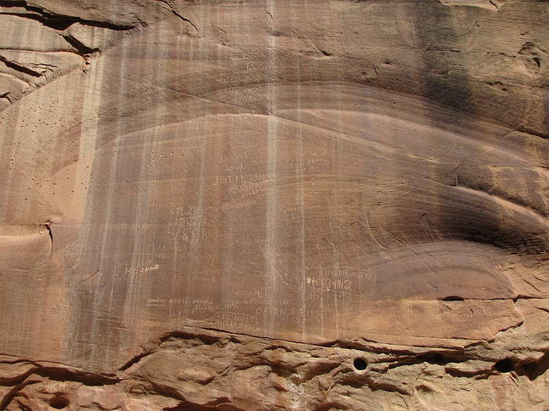
Hikers should be on the lookout for a large block of sandstone just north of the trail. Inscribed near the base are some archaic petroglyphs from earlier inhabitants of the area, as well as some gratuitous contemporary graffiti left by a thoughtless visitor.

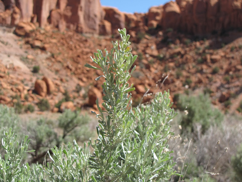
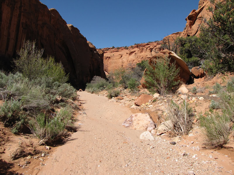
As the canyon walls steadily encroach, vegetation becomes more concentrated in the wash. One species found throughout the region is big sagebrush, which in this case is thriving thanks to a wet winter and spring. This aromatic woody shrub is a vital part of the plant community, providing browse for wild game and helping to stabilize the soil.

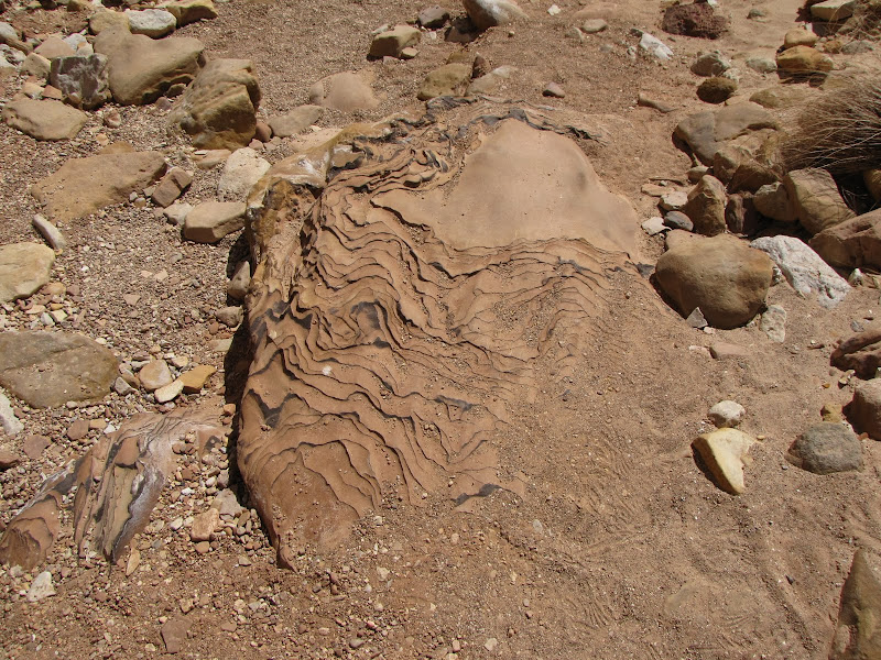
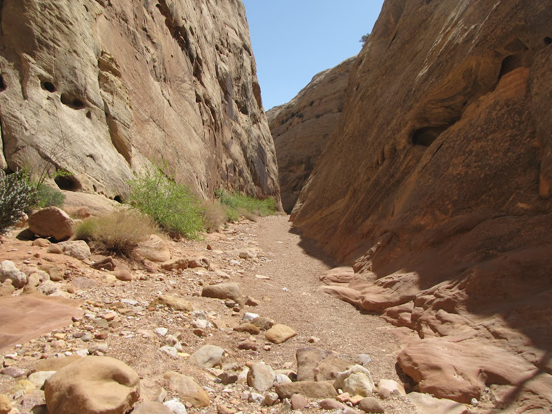
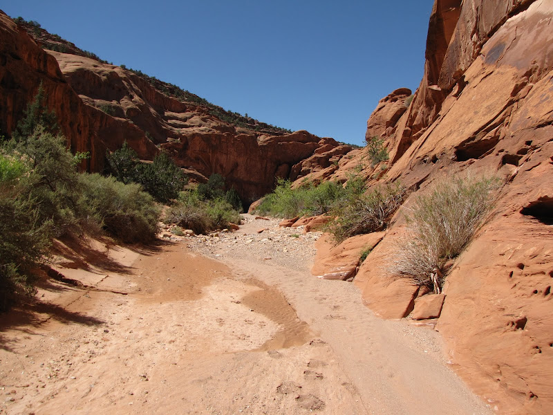
Soon the trail disappears, replaced by the obvious choice of walking in the streambed. Geologically the formations here are the same as the Wolverine Petrifed Area just to the north, and careful observation reveals weathered chunks of fossilized stone lying about.

Damp patches of sand begin to appear, eventually giving way to surface water. And where water is present, cottonwood trees and other riparian plants provide a welcome green respite from sun and rock.
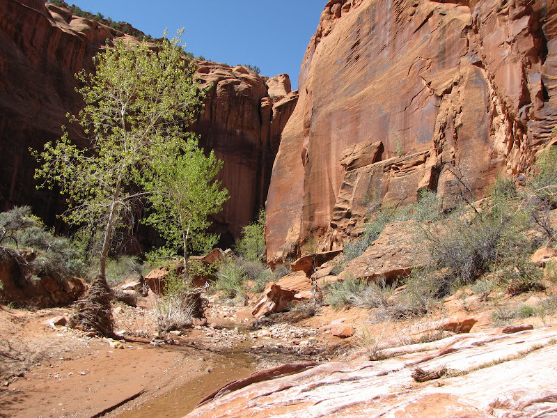
Water in the desert is life, and plants and animals maximize the resource to their benefit. This also means a few areas where vegetation has occluded the trail, and a narrow passage requires some moderate bushwhacking.
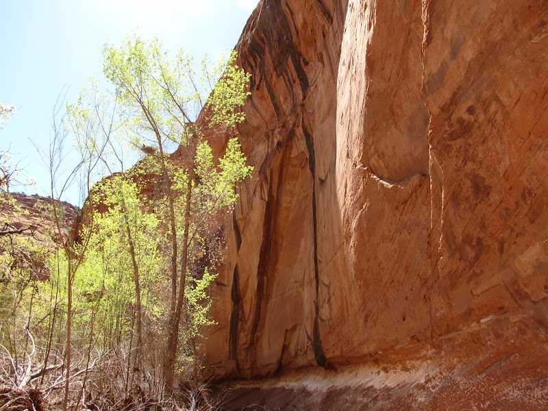
The canyon walls are close enough to reveal the chiseling and sculpting of water. The most dramatic changes in the rock occur suddenly, as a result of flash flooding or the freeze/thaw cycle, but subtle change is also occurring on a scale too gradual to be noticed by human eyes.

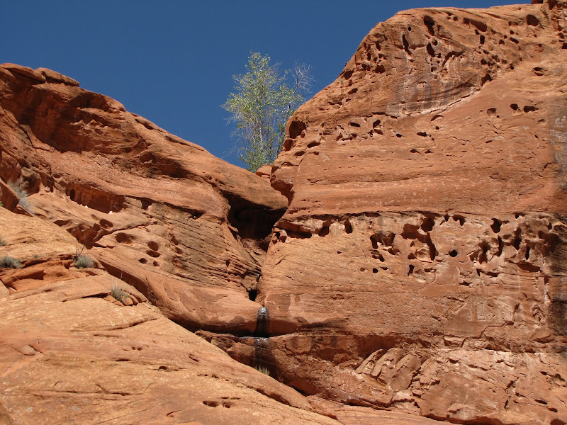
Looking up, this lone tree caught my attention. Far from the moist environment of the wash, I thought it odd that a water loving species would be perched on a barren slope. Only after looking more closely did I see the tell-tale dark streak on the rock indicating a spring high above creating a small oasis.
The thin ribbon of water in the streambed periodically disappears, although the presence of trees and plants attest that it is not far from the surface.

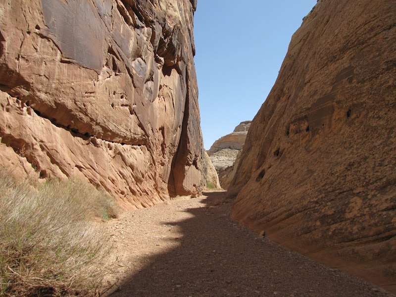
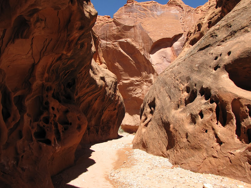
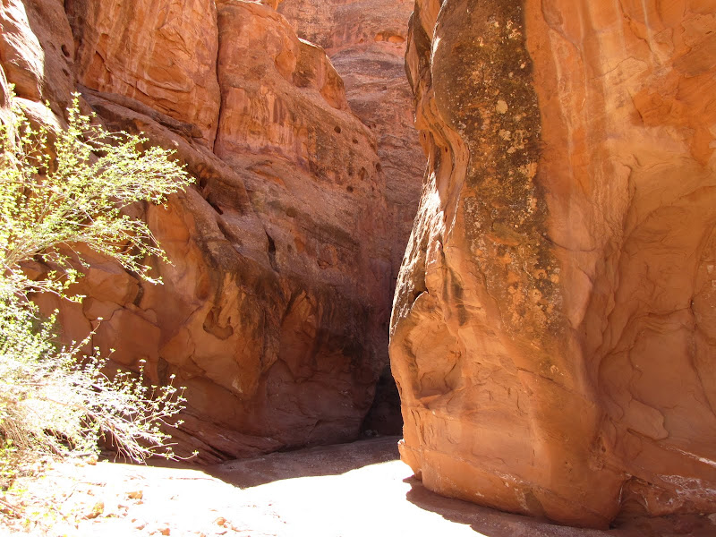
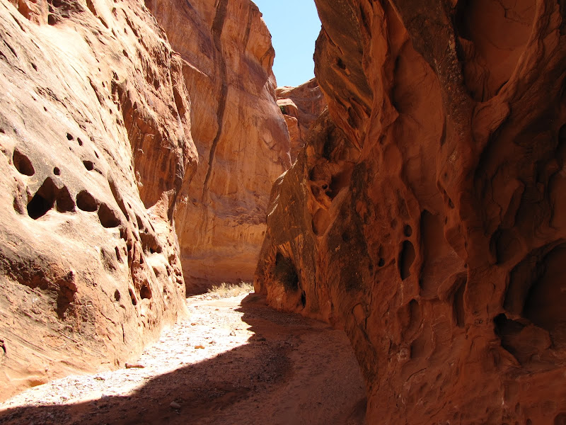
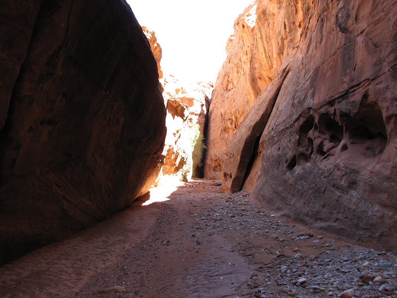
Near the mid-point of my hike, I approach the first in a series of narrows. Smooth water shaped walls confine views of the sky to a rectangular strip, and no plants grow in the flood swept channel.


Alternating between sun and shadow as the canyon winds sinuously back and forth, the silence is absolute. No bird calls or rustling leaves disrupt the quiet, and I am at once filled with reverence and awe, the sensation not unlike walking through the hallows of a massive cathedral.


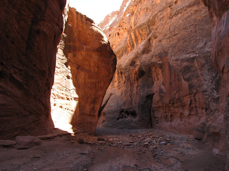
This truly is an enchanted place, and I linger long while marveling at the unique environment. Large cavities carved into the stone offer smooth benches on which to recline in cool shade, and the blue of the sky is made more intense by its scarcity.
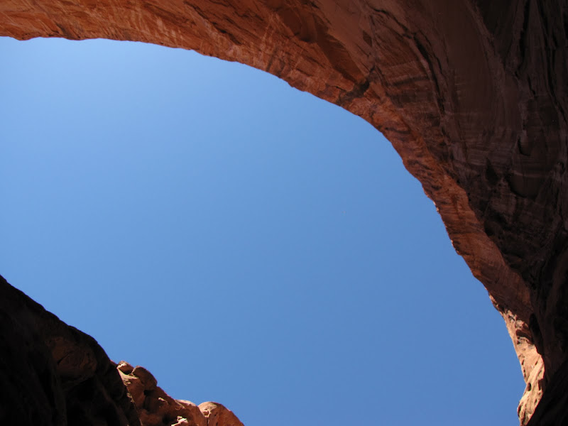


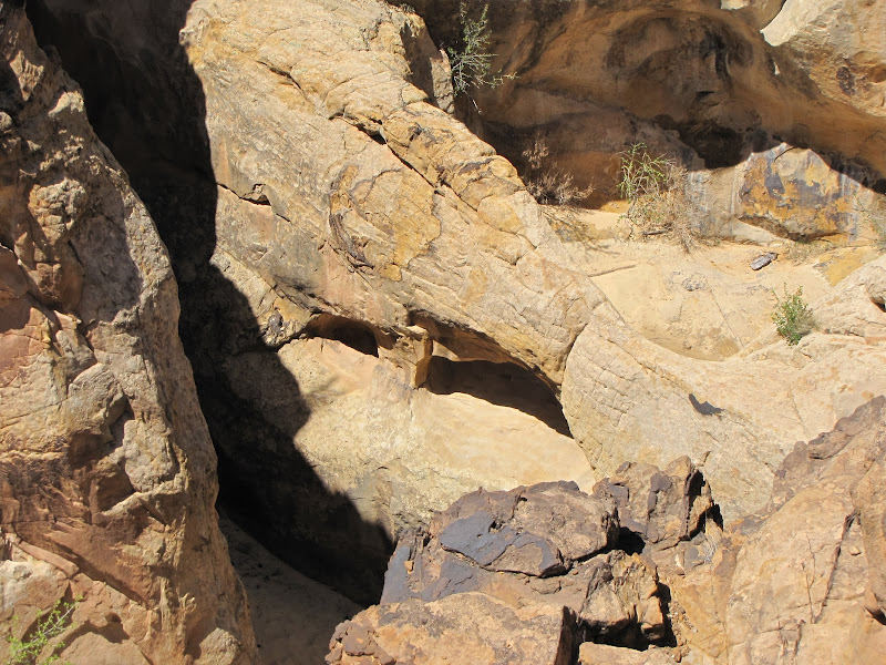
The canyon widens and recedes a bit, allowing for the accumulation of sediment and the return of plants. Almost immediately I notice a small arch high above the southern cliff face.


Continuing downstream the canyon walls are low and rounded, and a sliver of moon hovers over the rock. Benches protrude into the channel, offering opportunities to scramble out of the wash for a better vantage point. I know there are no other human beings for miles, and the sense of isolation and solitude is as complete as I've ever felt.
More narrows await my downstream progress, so I continue along the mostly sandy and sometimes rocky canyon bottom.


The entrance to the next slot area looms ahead, and I plunge into shadow from the bright sunlight overhead.


I reach the end of this hike when the canyon opens up once again. The guidebook tells me there's an even narrower slot ahead, which I will return for some day, but time has run out on this adventure and I need to head back.
It is a mystical experience following a path carved through the heart of rock. Words alone cannot describe the feeling of being separate from the rest of the world, or the utter stillness found between stone and sky. In a place like Little Death Hollow, it is easy to understand the intimate and necessary connection between us and nature.
If you ask me, the name has it all wrong - this is a big life affirming place of renewal and fulfillment.