

Muley Twist. Whoever named this strikingly beautiful canyon in the southern end of the Waterpocket Fold surely had a sense of the whimsical, for just saying "Muley Twist" out loud conjures up a mental picture worth savoring. The story goes that the canyon is so tight in the narrowest sections it would "make a mule twist" as it passed through. Maybe so.
There are two sections to the canyon, designated Upper and Lower Muley Twist. Both can be accessed from the Burr Trail where it bisects the Fold. This post is dedicated to Upper Muley Canyon - I'll cover Lower Muley Canyon at some point in the near future.
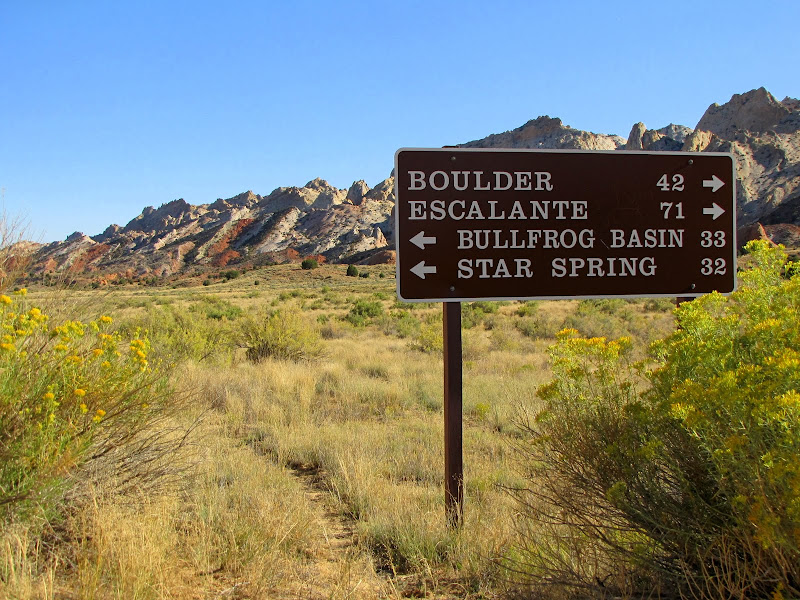
The trail to Upper Muley Canyon begins at the parking area for the Strike Valley Overlook. Visitors can reach the turnoff to the overlook in one of two ways. Coming from the west, take the Burr Trail from the town of Boulder off Utah Highway 12. This very scenic route is paved for about 30 miles until the boundary of Capitol Reef National Park, where it then turns to dirt and gravel. From this point it is an additional 2.2 miles to the junction.

The other access is from the east via the Bullfrog - Notom Road, which begins about 10 miles east of the Capitol Reef Visitor Center on Utah Highway 24. This equally beautiful drive is paved for the first 10 miles, then becoming graded dirt for the next 22.5 miles. At the signed junction with Burr Trail, head west (right) up the switchbacks. This approach can quickly become impassable during wet weather, so be sure to check with Park Service personnel before heading this way.

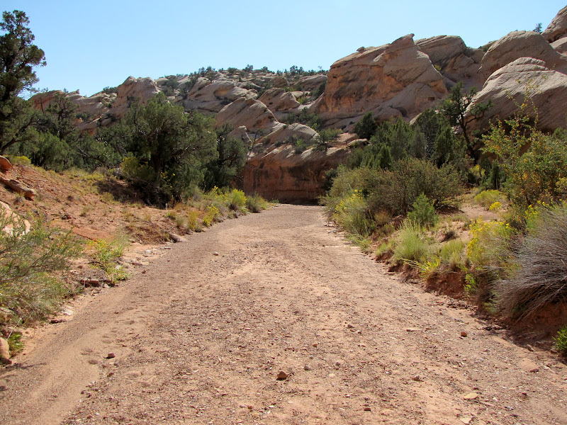
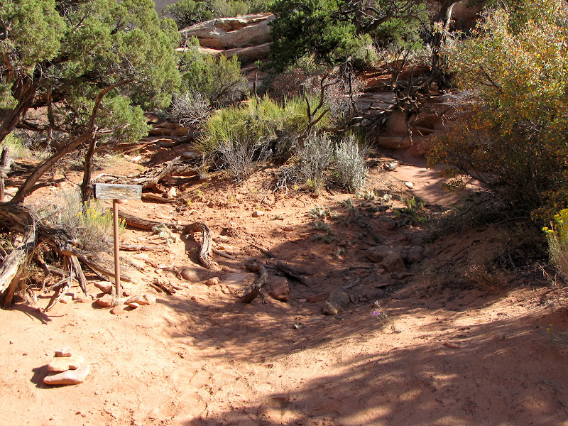
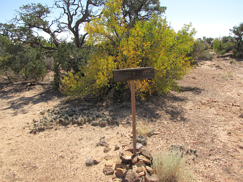
Look for a wooden Park Service sign to the west indicating the turn for Upper Muley Twist. The spur is marked "4 wheel drive", and under some conditions this is probably true, but after extended dry periods a high clearance vehicle is sufficient.

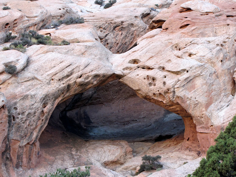
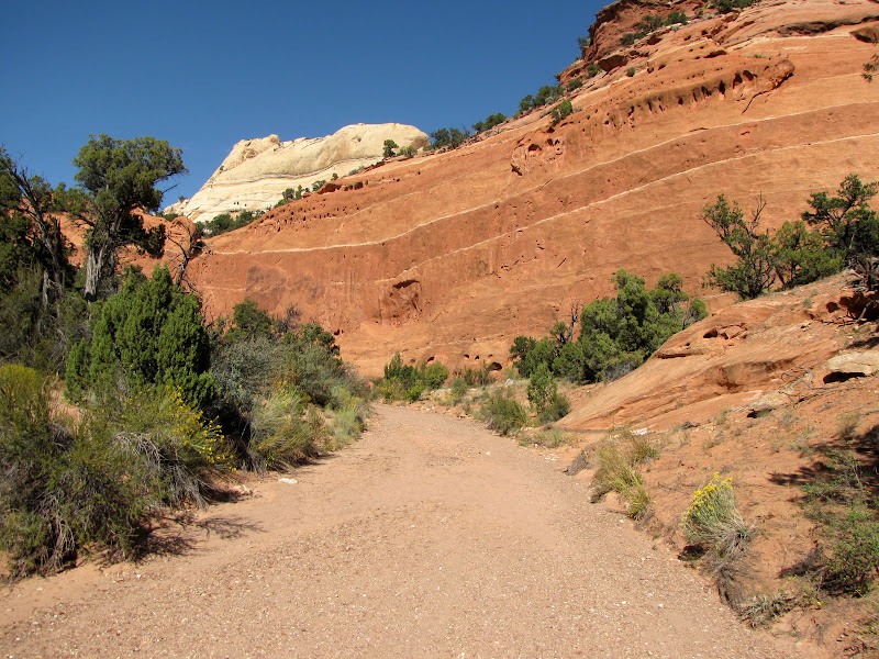
If you aren't comfortable negotiating 2.8 miles of sandy, rocky washbottom in your car or truck, a parking area with a trail register is found .4 miles from the turnoff, although starting from this point adds nearly 5 miles of additional walking to the 9 mile hike. Whether you continue to the trailhead on foot or by vehicle, there is plenty of fantastic scenery to absorb along the way, including two of the seven arches you will see on this trip.
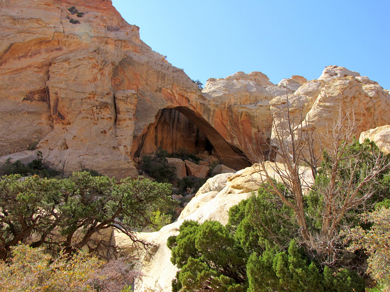
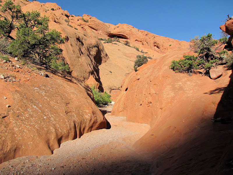
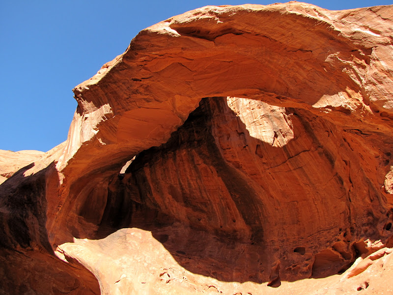
The first appears near the beginning of the spur road, and is seen in the picture at the top of this post. It is a "peekaboo" arch cut in the Navajo sandstone. The second is shown below, and is found just west of the road about half way to the trailhead. As of this writing I have yet to discover the names of these two features.
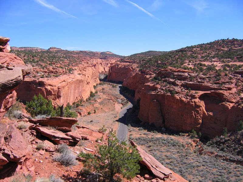
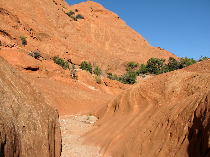
After nearly 3 miles, the road comes to an end at the small parking area serving as trailhead for both Upper Muley Twist and Strike Valley Overlook. Park here and head upstream (north) in the wash bed.

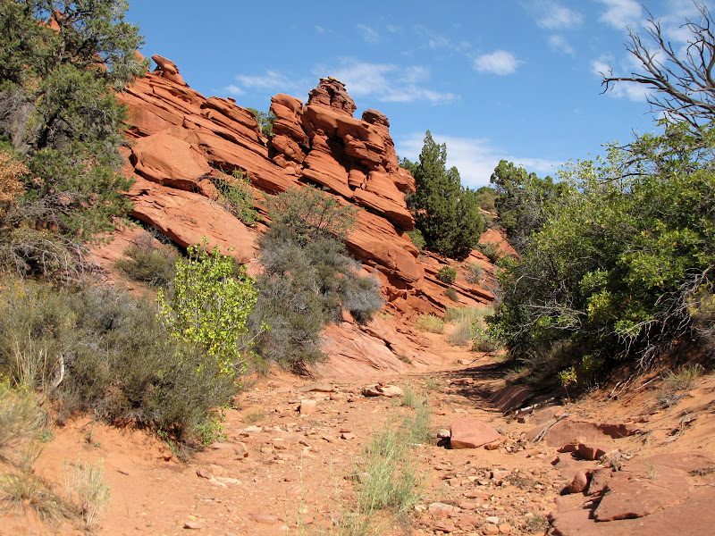
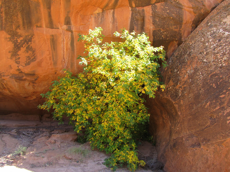
Walking is easy in the broad, sandy wash. The high canyon walls remain well off the path at first, with alternating low slopes of both Wingate and Navajo sandstone forming slickrock benches along the way. Vegetation consists of classic Utah high desert, with dark green pinyon and juniper trees contrasting nicely with the whites and oranges of naked rock.
 |  |  |
 |  |
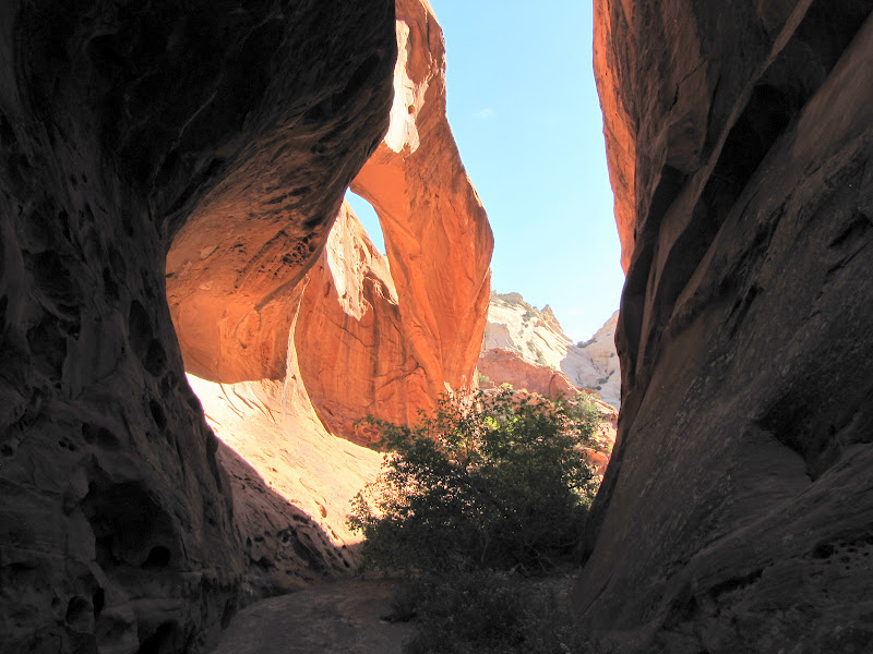
At around 1.5 miles from the trailhead, Muley Arch appears on the west wall.

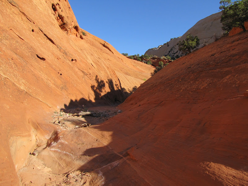
Soon the walls begin to narrow considerably, with sections of Wingate again forming low terraces along either side of the channel.


The graceful arc of Saddle Arch soon appears on the west, near a junction with the trail that descends from the spine of the Reef. This is where the hiker must choose which path to take.
Hikers with previous experience on this trail suggest a clockwise route; this direction makes the elevation gain seem less arduous, and there are a few sections where a friction ascent/descent of the slickrock are required. For some the perception is that it's easier to climb than it is to come down, but it's all a matter of personal preference.

After hiking it for myself I agree with taking the left (clockwise) leg, and recommend staying in the canyon bottom to continue north. The payoff in terms of scenery is almost immediate, as a drainage enters from the west flanked by two arches high on the Wingate slopes.
First on the left is a small arch with a tree growing below it:
 |  |
Then on the right is another small "eyebrow" arch:
 |  |
Beyond the drainage the canyon has narrowed a bit, with a shallow Wingate trough framing the wash bottom, and a high wall of Navajo sandstone on the east. In dry weather negotiating this section is relatively easy, but accumulating rain or snow will fill several shallow basins along the way, meaning either wet, muddy feet or a bypass on the slope to the right.


Another very scenic but short slot canyon enters from the west, with yet another arch on the northwest wall. This arch is not yet fully formed, being still connected to the main wall in the center. So technically, it's a double arch, but who's counting?

Beyond this point the canyon walls close in, pinching off to a narrow slot. Most hikers can continue on for a few hundred yards, while experienced technical canyoneers can go some distance beyond that, but all visitors must eventually retreat, for there is no way through.

Instead, the trail now leaves the canyon bottom and heads straight up the steep, rocky shelf to bypass the restriction.

The path makes its way along the somewhat exposed ledge above the narrows, winding across boulder strewn slopes amidst pinyon and juniper scrub.

On the opposite canyon wall distinctive "marblecake" humps draw the eye.

Looking down, a thin ribbon of green cottonwood trees marks the canyon bottom.

After a fair bit of scrambling along the talus beneath the high walls, the trail deposits the hiker back in the wash bottom at the end of the impassable narrows.
A few more minutes of walking along the sandy wash leads to another detour, this time to exit the canyon along a fault line route to the rim.
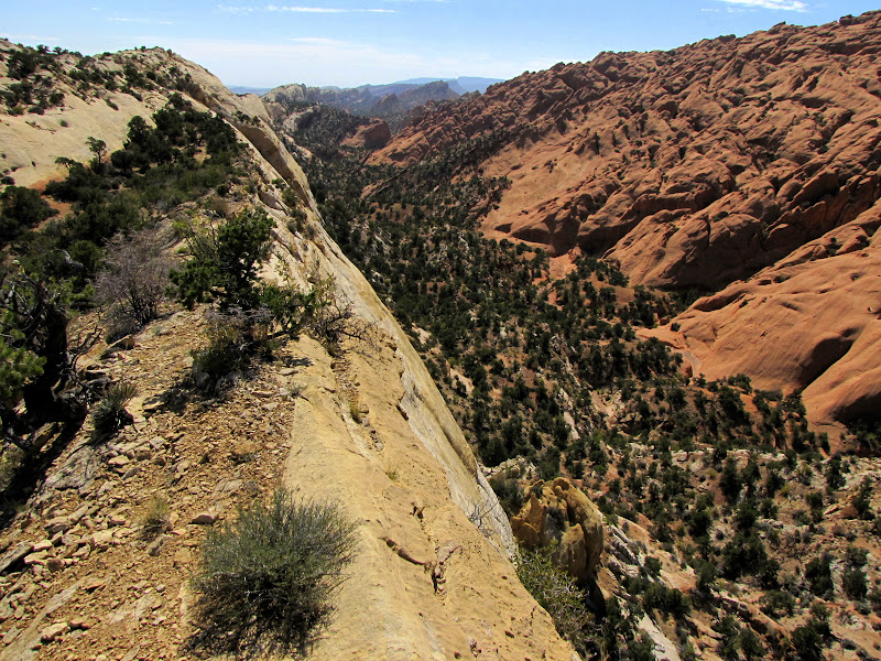
As you make your way to the top of the Navajo formation, the path offers sweeping views up and down the canyon.

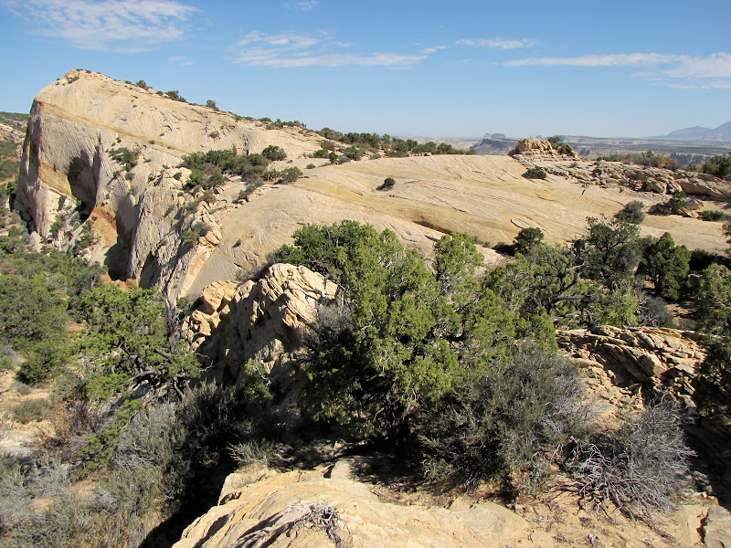
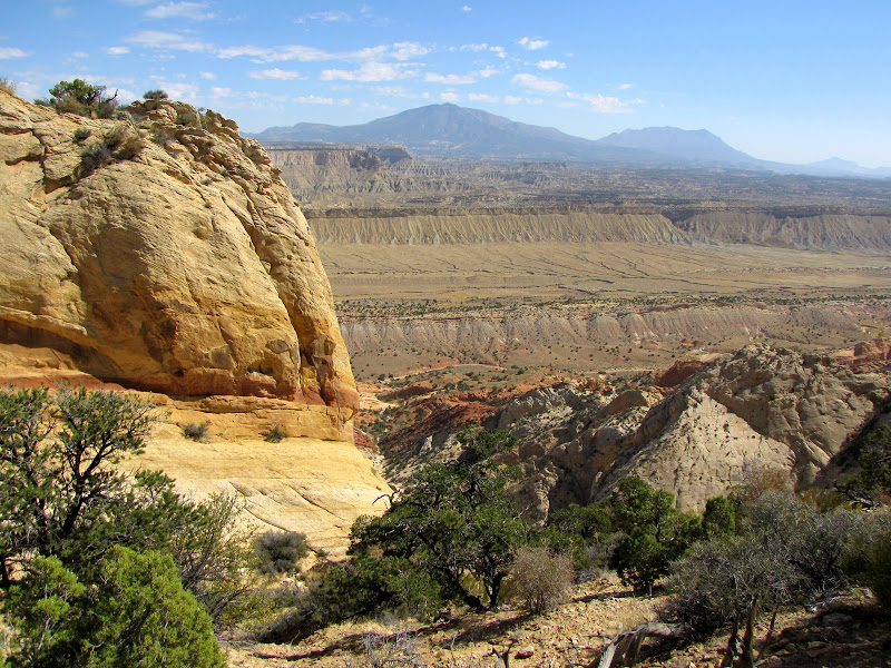
On top of the Waterpocket Fold, a very impressive sight is unveiled - the long panorama of Strike Valley, with the Henry Mountains rising majestically over Oyster Shell Reef.


To the west uplifted Wingate sandstone domes and humps dominate the scene.

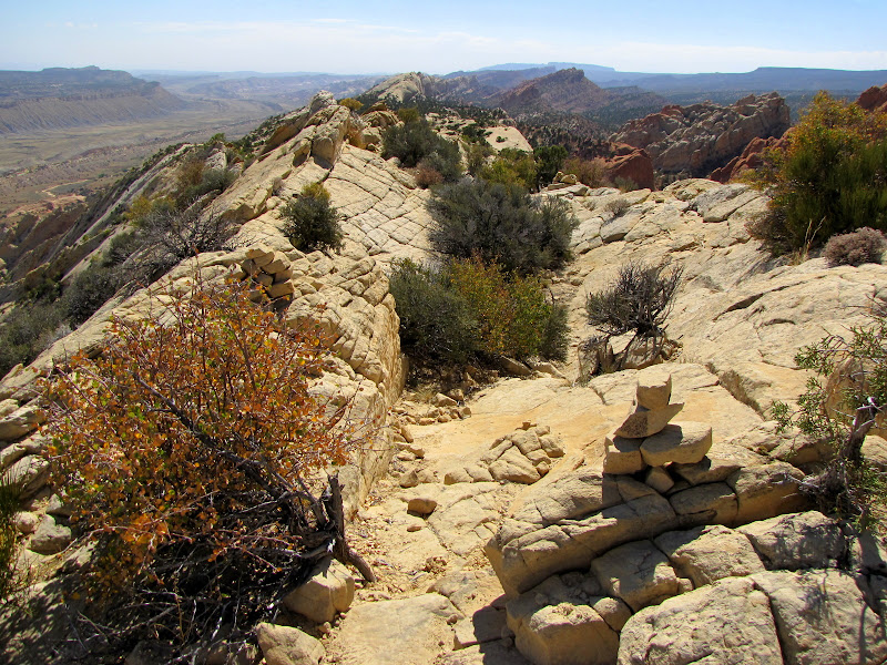
From here, the trail follows the spine of the Reef, traversing long stretches of slickrock alternating with sandy islands of pinyon and juniper. Keeping track of the trail relies on the placement of many cairns along the way, some of which may be difficult to spot.
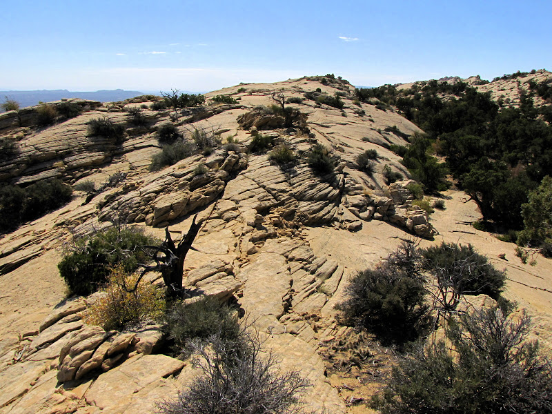

High on the ridge the views are endless, and many opportunities arise to simply stop and survey the tilted landscape. The crossbedded sandstone adds an intriguing pattern to the visual feast, and offers a smooth sloping surface to take a moments rest.

At one point there's a break in the Fold, necessitating a sudden descent along a loose, rocky section followed by a friction climb up an equally steep slickrock face.

Back on top the amazing scenery continues to entrance as the path follows the contours of the Reef, at one point dropping once again to a sandy bench before climbing back to the rim.


Looking west, two arches flanking the drainage that were seen earlier from below appear across the canyon.

After two miles of more or less following the crest, the trail reaches the sign marking the descent and return route to the canyon floor.
As you make your way back to the wash bottom amongst the detritus of the eroding slopes, be sure to take one last look at the terrain covered on this southern leg of the journey.


The trail returns to the wash bottom near Saddle Arch. From here it's an easy two miles back to the beginning. Although the path passed this way earlier, the opportunity to see the surroundings from a downstream point of view offers a new perspective.

There are many amazing hikes in Capitol Reef National Park that allow visitors to view the incredible geology and geography of the Waterpocket Fold, and Upper Muley Twist is one of the best. It might be a little harder to get to than most, but that's part of the appeal.
You might remember Chubby Checker singing his famous tune: "C'mon baby.... Let's do the Twist." Take his advice, it'll do you good.
No comments:
Post a Comment