 Taking leisurely trips on backroads in the West is a marvelous way to spend a lifetime. There are many places to go, and each demands the traveler stop and appreciate the majesty of the land. And while Man has demonstrated through architecture and engineering that fabulous structures can be designed and built, there's no comparison when the forces of nature working with geography combine to produce sublime masterpieces of form and beauty. A journey into Cathedral Valley is proof of that.
Cathedral Valley is part of Capitol Reef National Park, which is one of Utah's geological crown jewels. Located to the east of Waterpocket Fold, the Valley is reached by traveling all or part of a 60 mile dirt road which makes a loop through amazing badlands and high desert landscapes. As the road is not regularly maintained, a high clearance vehicle is a necessity. And although four wheel drive is not required, like many Utah backways there are times when the road will be impassable due to storms.
There are a few different ways to access the loop road, with the main one being the River Ford, found 11.5 miles east of the Park Visitor Center on Utah Highway 24. The road is so named because it crosses the relatively shallow Fremont River soon after leaving the highway. This passage of the river may not be possible due to runoff from spring snowmelt or when thunderstorms drop heavy rain across the high country, so visitors should be prepared to use an alternate way in.
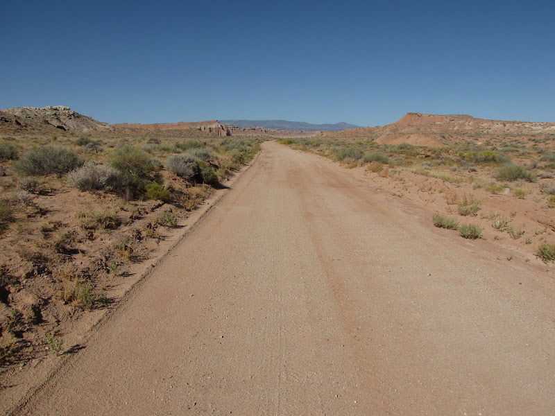
 My preferred route departs Utah Highway 24 just west of the hamlet of Caineville. Called the Caineville Wash Road on maps, the turnoff to the north is not well signed, and anyone unfamiliar with the area should get good directions before attempting to locate this approach.
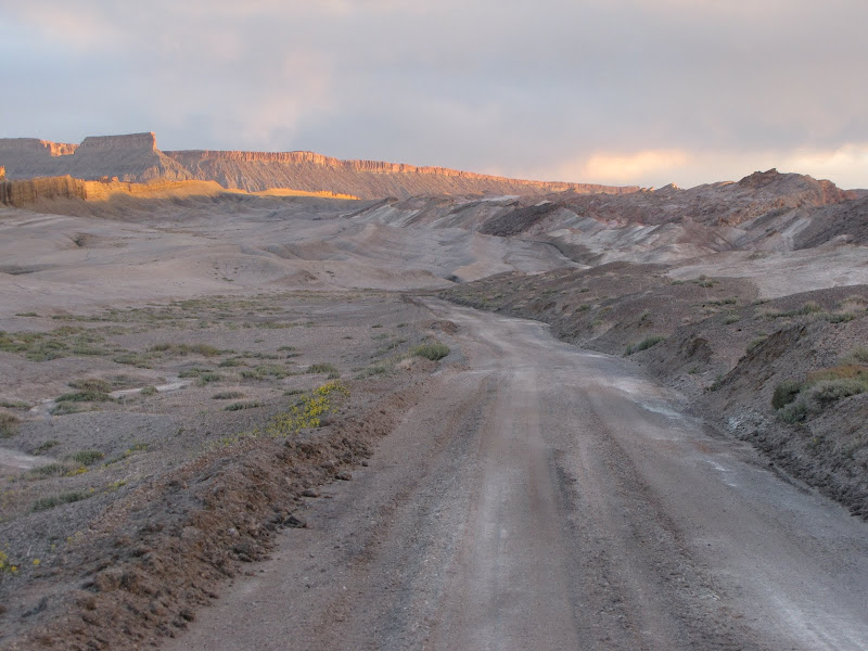 At first the road parallels the normally dry wash for which it is named, with North Caineville Mesa looming high on the east and the southern end of Caineville Reef rising to the west. Soon the path begins a climb through colorful bentonite clay hills before emerging onto a cap of sandstone covering the reef. The bentonite layer is a remnant of fine volcanic ash and silt deposited in swamps during the Jurassic era, and when wet forms a greasy, gummy material that renders even four wheel drive useless.
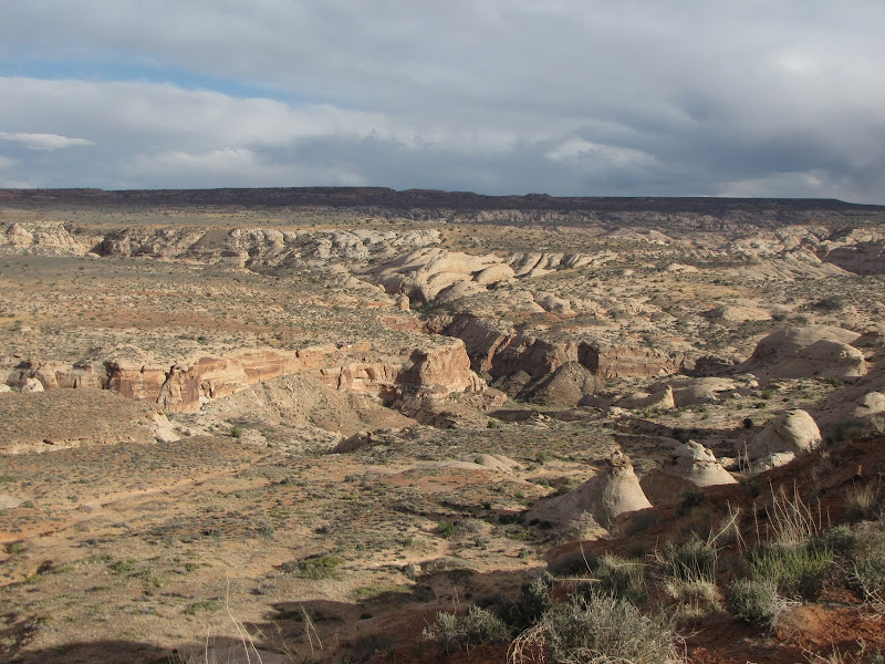
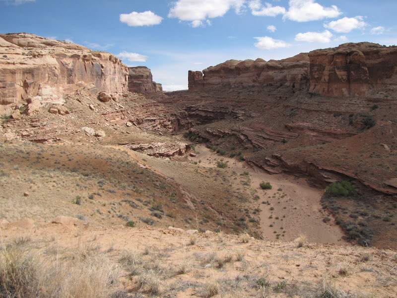
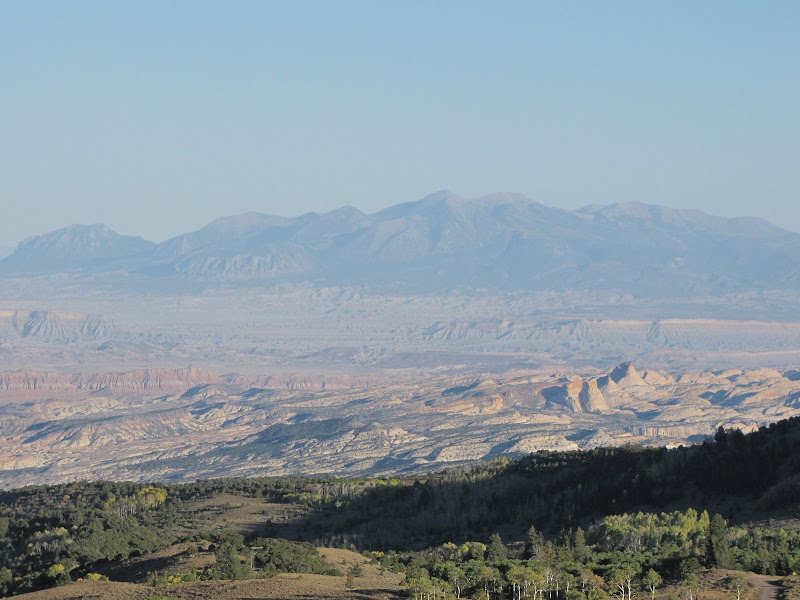
As the road climbs out of the valley, views of the surrounding area improve, with the panorama of North Caineville Mesa, the Henry Mountains, Waterpocket Fold, and Factory Butte all rising above the horizon.


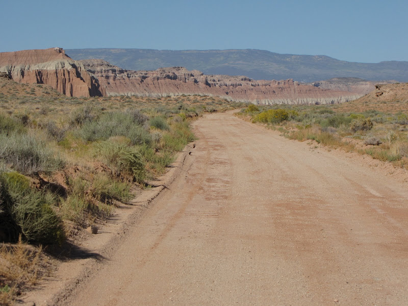
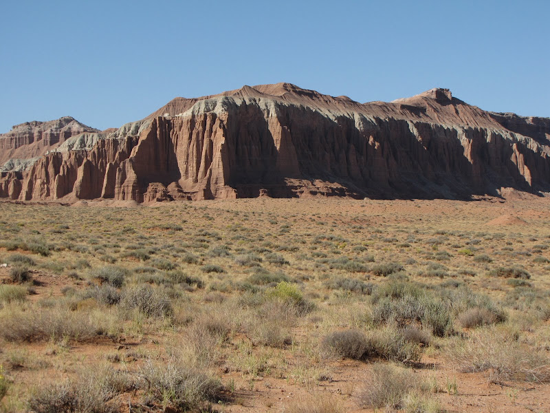
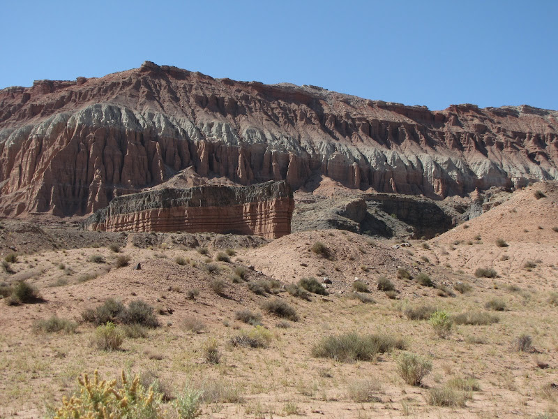
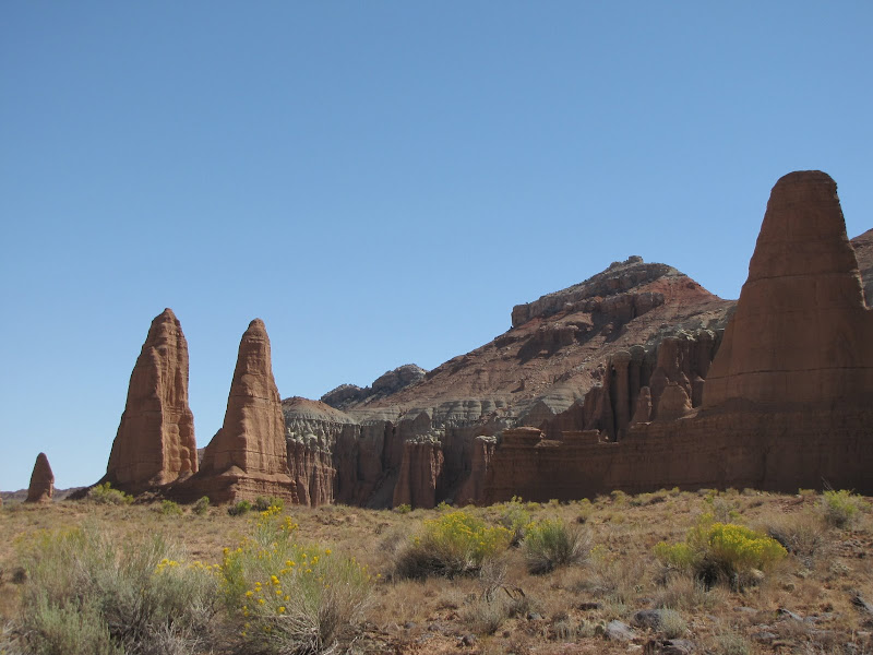
Reaching the apex of the reef the road begins to head westward where classic badland hills of clay and silt dominate the foreground, and the road winds in and out of countless small drainages.
 |  |
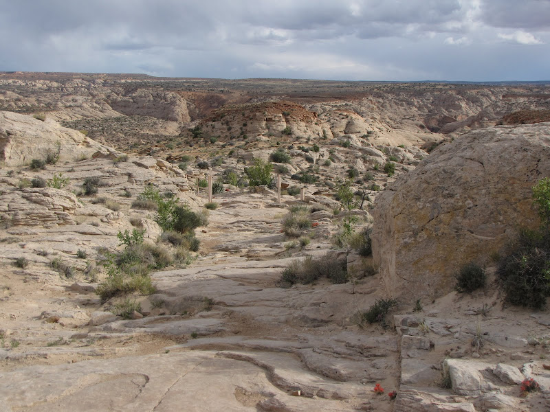
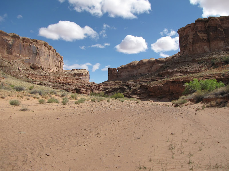
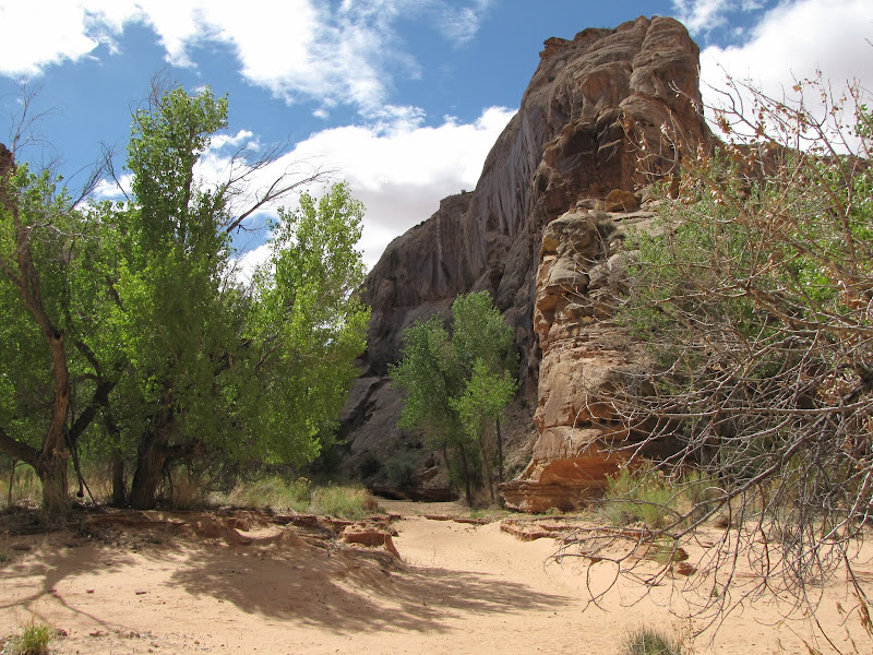
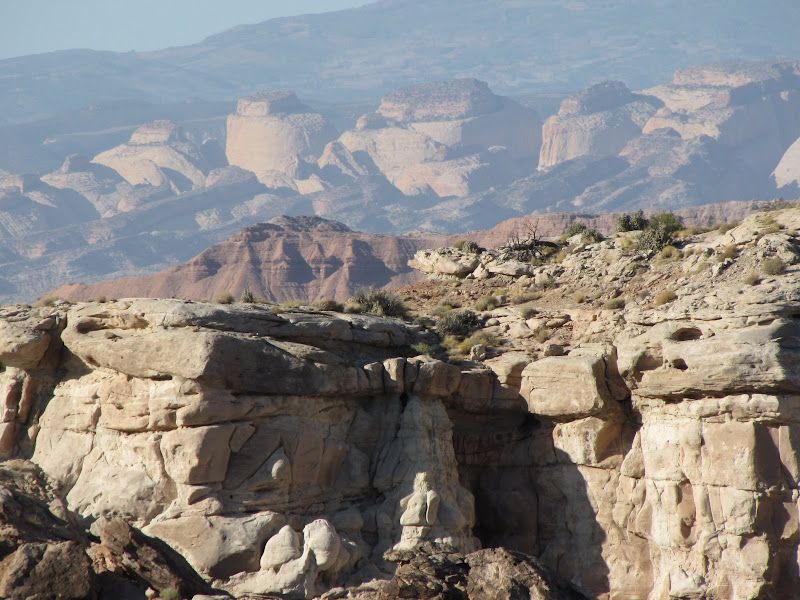
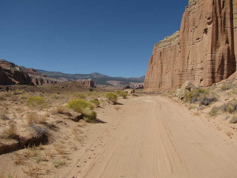
Beyond the tortured geography of the reef the road becomes less rocky and more level, although now sandy and with frequent dry wash crossings. Ahead lies the escarpment of Entrada sandstone which birthed many of the monoliths of the Valley. Higher still on the horizon are Boulder and Thousand Lake Mountain, where lofty forest clad plateaus collect abundant amounts of winter snow to feed rivers and springs.
 |  |
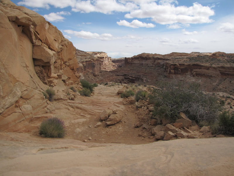
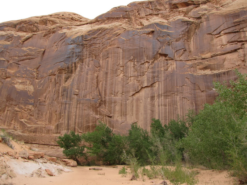
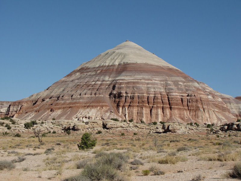
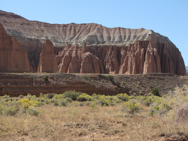
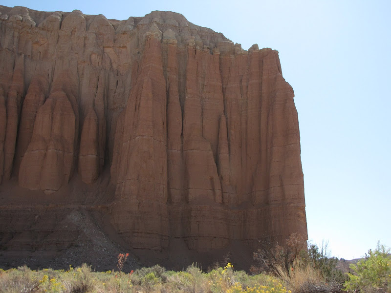
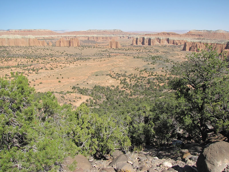
The rolling badlands soon give way to sharply vertical walls carved into fluted columns. The fine grained Entrada sandstone erodes easily and is quickly removed by wind and water, so little or no talus slopes form at the base. As a result the sheer formations rise abruptly from the desert floor, seemingly thrust straight up from the earth's interior. Early anglo explorers noted the unique resemblance to the Gothic architecture of Europe, hence the name Cathedral Valley.
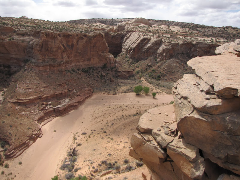
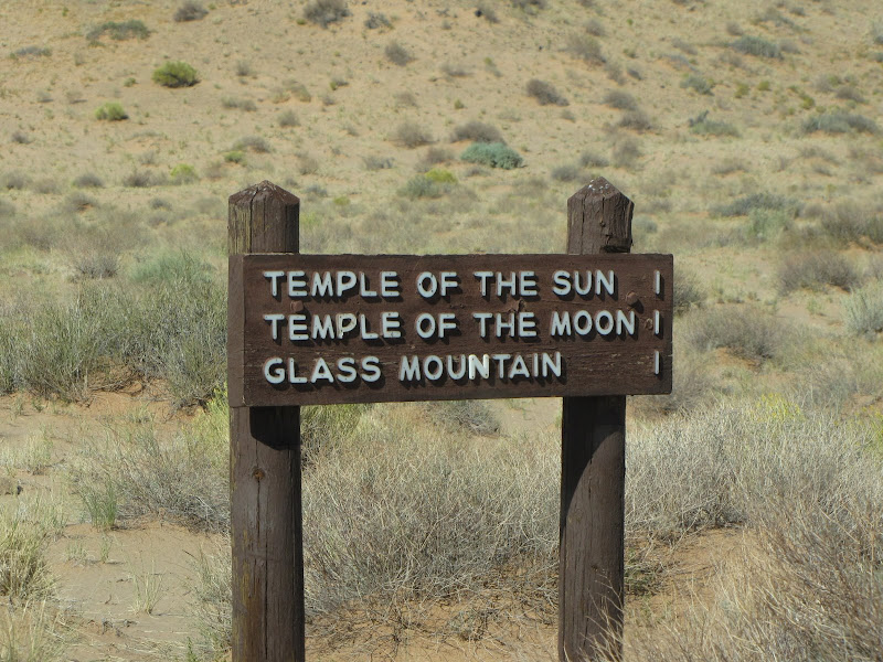
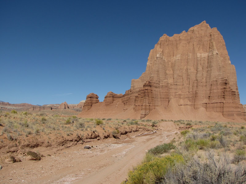
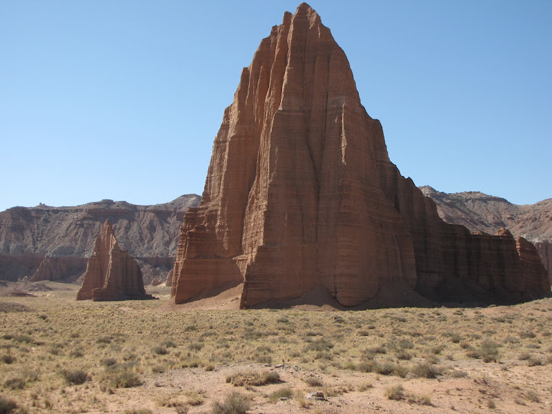
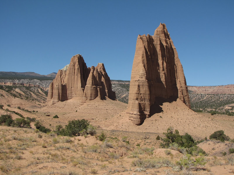
Perhaps the most well known formations in the valley are the Temples of the Sun, Moon, and Glass Mountain. The giant monoliths of the temples are visible long before the sign indicating the turnoff appears, although the more humble but no less interesting Glass Mountain is harder to spot.
 |  |
 |  |
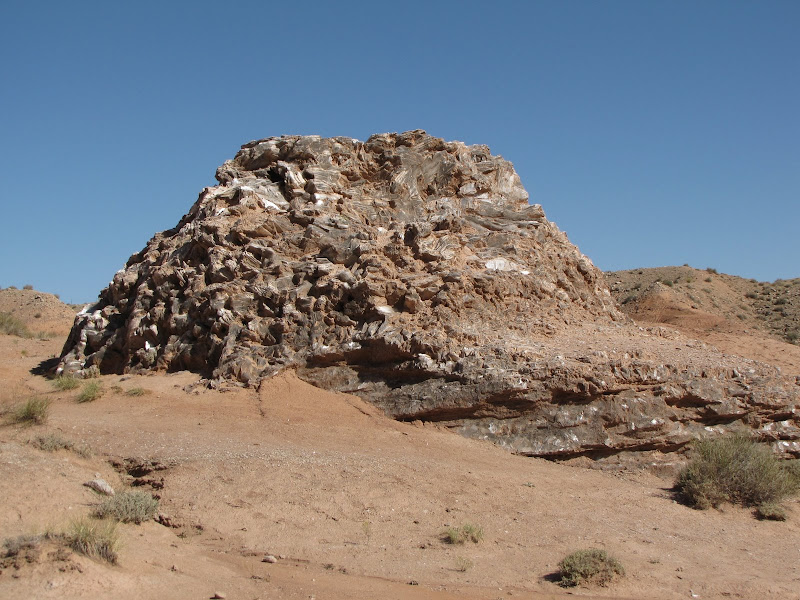
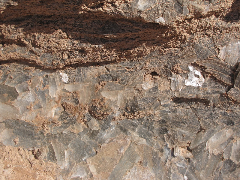
Glass Mountain is not a mountain at all, but a large outcropping of selenite, a form of gypsum. The unusually large crystals here create a multifaceted mound that reflects the rays of the sun, thus earning the name.
 |  |
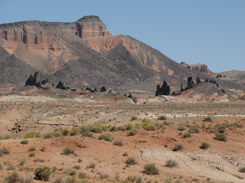
Continuing on, the eye is drawn to many different shapes and textures. One example is the stark black volcanic extrusions in the foreground. Called dikes or sills, they are remnants of a time when the earth disgorged massive amounts of lava to cover the land.
Another striking visual is the multitude of layers displayed in this fin of sandstone, an intricate record of shallow seas, swamps, and deserts from the distant past.

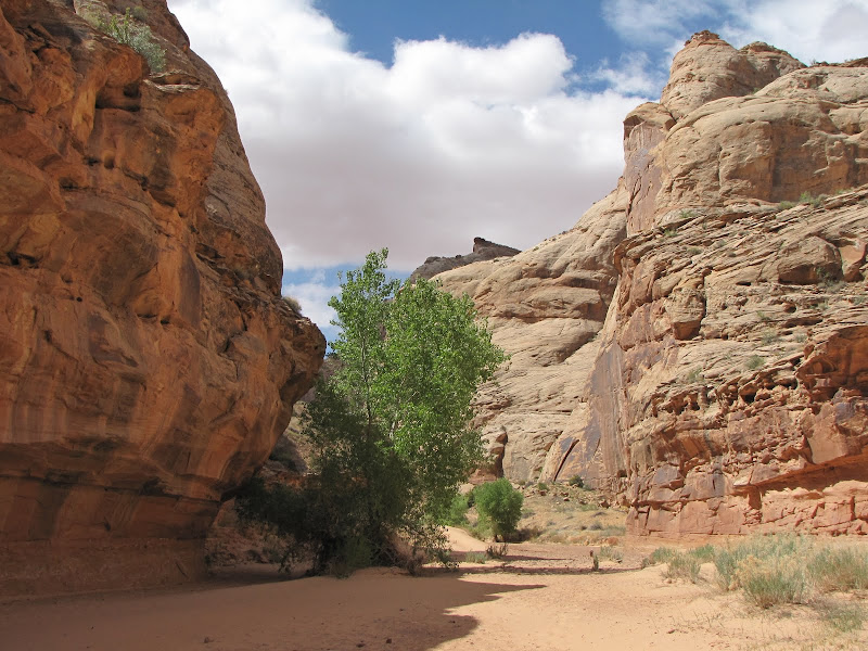
The valley narrows ahead as the road begins a gradual climb to the flanks of Thousand Lake Mountain.
At Cathedral Valley Junction, the Baker Ranch road comes in from Interstate 70, 27 miles to the north. This road is usually open all year, making it a good choice when flooding on the Fremont River or in Caineville Wash prevents access to the valley from the south.


The scale and majesty of the spires, pinnacles and columns becomes easier to appreciate as the walls close in on either side.
At the head of the valley, the road begins a short but steep climb onto the lower slopes of the mountain. Looking back into the upper valley provides a sweeping panorama of the Upper Cathedrals.
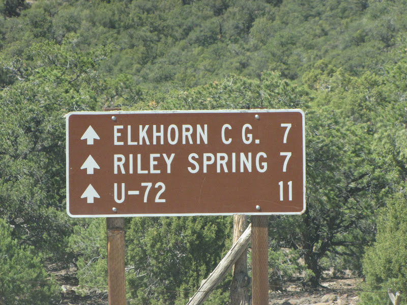
At the top of the rise, the only campground in this part of the National Park appears. Located at 6800 feet above sea level and offering primitive sites, this is a good place to escape the worst of the summer heat while enjoying scenic views of the surrounding country.
Nearby is Hartnet Junction, where visitors must decide which of two routes to take. Heading south here returns to Utah 24 about 27 miles away, and offers more opportunities to experience lofty views of the valley from the Upper and Lower South Desert Overlook spurs.
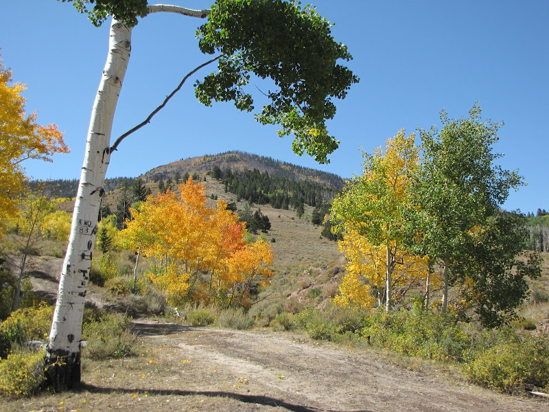
If you are like me you'll want to head for higher ground, especially during the warmer months. This leg travels a somewhat rocky road which climbs to 9500 feet over the north side of Thousand Lake Mountain. There are excellent camping spots high on the flanks offering great views east towards the valley and the Henry Mountains, while farther north you can spot the labyrinth of the San Rafael Swell.
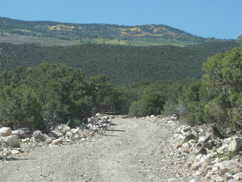

After traversing the high mountain the road ends at Utah Highway 72, which connects Utah 24 near Loa with Interstate 70. This relatively short and infrequently traveled route is also a scenic drive well worth the time.
Of course it doesn't really matter which path you choose. As I said at the beginning of this post, taking time to travel the backroads and byways in this part of the country is time well spent - so pick one and enjoy!