

The arrival of fall in the high country brings shorter, cooler days that are perfect for a day hike. Given that I'm fortunate enough to live in an area that boasts nearly unlimited outdoor recreation opportunities you can be sure I take advantage of it whenever possible.
On this day I'm traveling a little farther than usual - although the excellent Dry Lake Hills trails are just a couple of miles away, they are but a few of the options available. Instead I follow U.S. Highway 180 north towards Grand Canyon, where several other rewarding hikes can be found. In this case I'm heading for Slate Mountain, one of many hills that dot the region around the San Francisco Peaks.
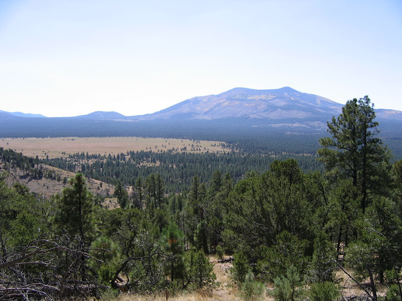
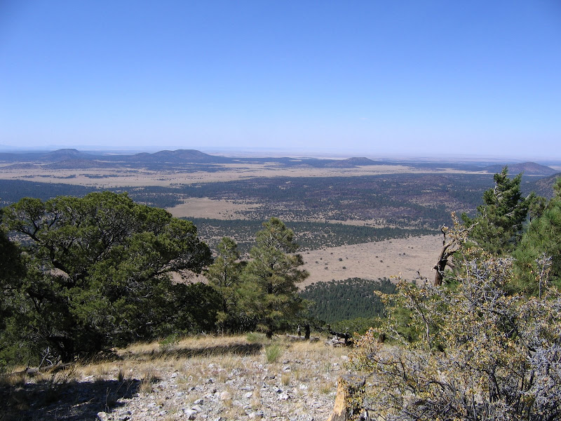
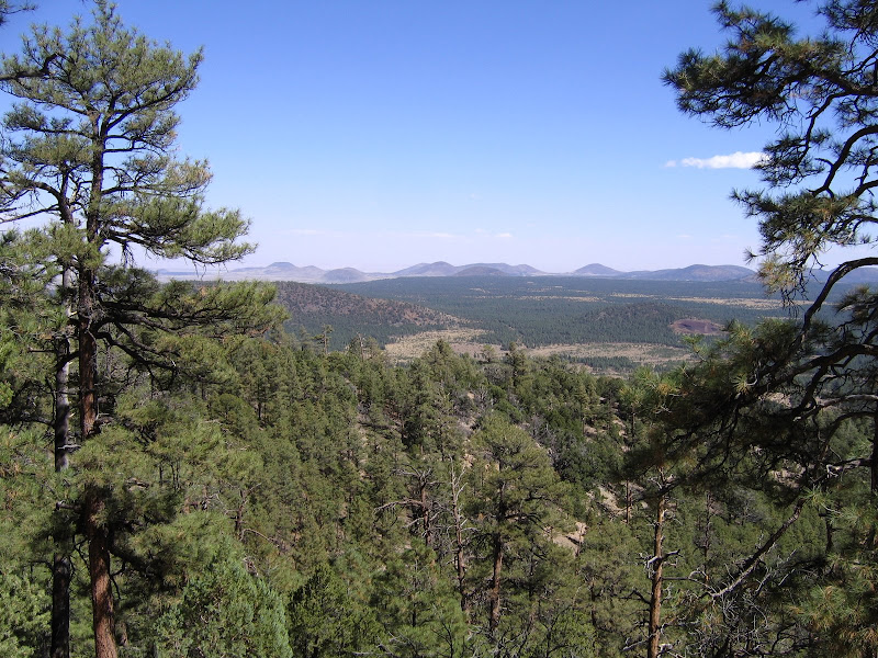
Located approximately 23 miles northwest of Flagstaff, Slate Mountain lies near the limit of the San Francisco volcanic field, a collection of nearly 600 cones, craters, and extrusions that tell the story of 600 million years of vulcanism. Some of these features rise a few hundred feet above the surrounding area, while others such as Kendrick Mountain tower nearly 3000 feet over the land.
Slate Mountain is fairly modest with a 1000 foot rise, and the trail to the summit takes a leisurely 2.4 miles to reach the top. Because it is far from town the hike is not well known or frequently visited making it a great place to find peace and solitude.
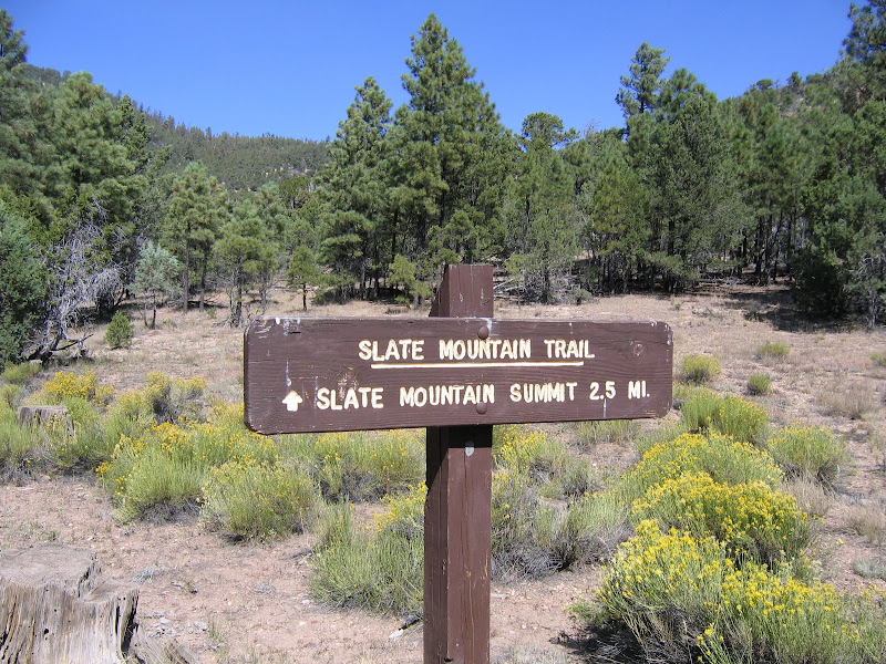
 The turnoff is well signed, and from the highway it's two miles to the trailhead on a rocky dirt road that is best suited to high clearance vehicles.
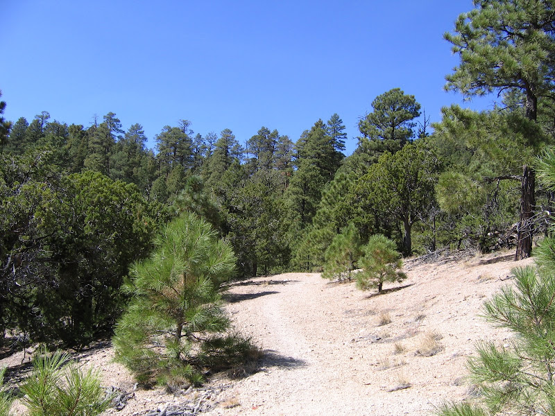
Like a number of other trails on the National Forest the route up Slate Mountain follows an old road grade that used to serve a fire lookout at the summit. The lookout is long gone, and the obvious road bed is slowly being reclaimed by cliffrose and rabbitbrush.

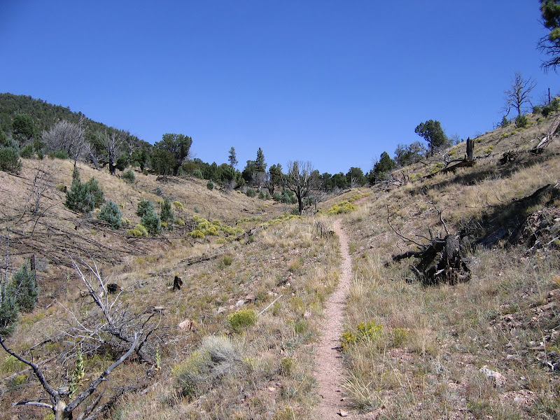
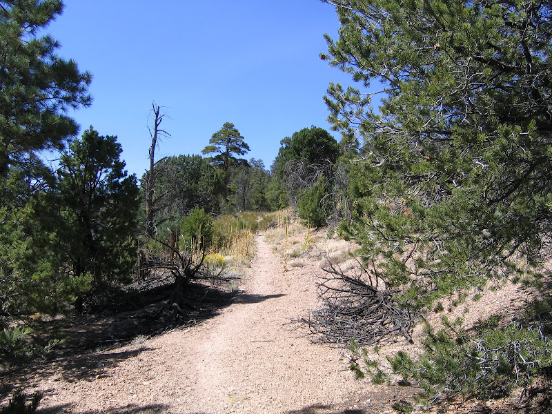
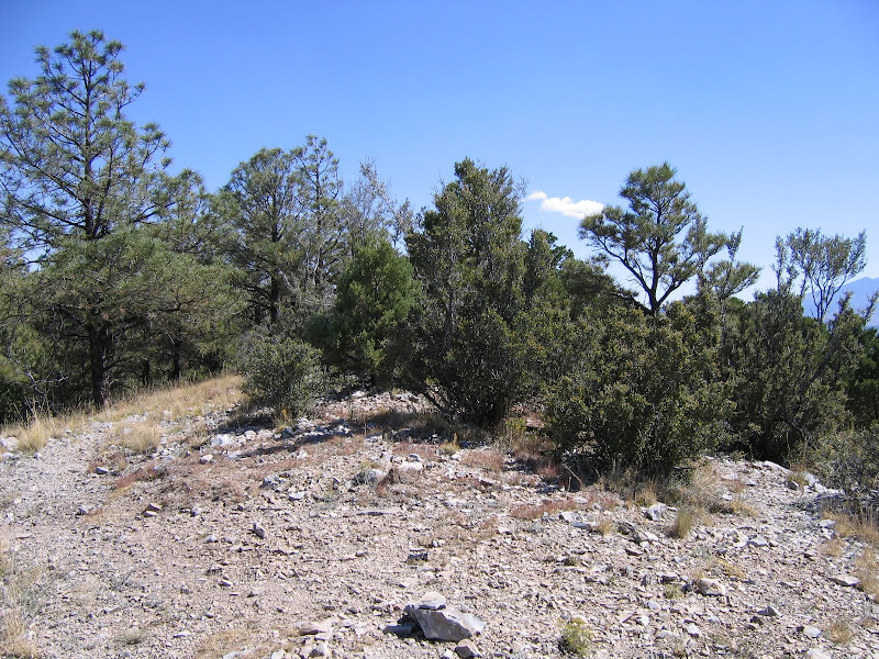
Initially the trail follows a shallow drainage where in the late 1990's a fire burned through, and the skeletons of juniper and pinon pine stand sentinel over the landscape. Soon leaving the worst of the burned area behind, the trail begins the first of several long traverses through a pinon/juniper woodland.

By this time the hiker will have noticed Forest Service interpretive signage located at seemingly random intervals along the way, with each noting a particular tree or species of plant.
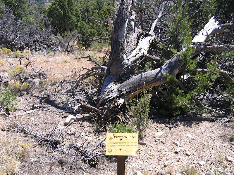 These curious artifacts are a good example of man's best intentions thwarted by Nature - when the signs were placed in the early 1990's, there were actual trees and plants associated with them, but the subsequent fire and other natural changes destroyed or eliminated the subjects. Even though in most cases the examples no longer exist, the placards are nonetheless informative.
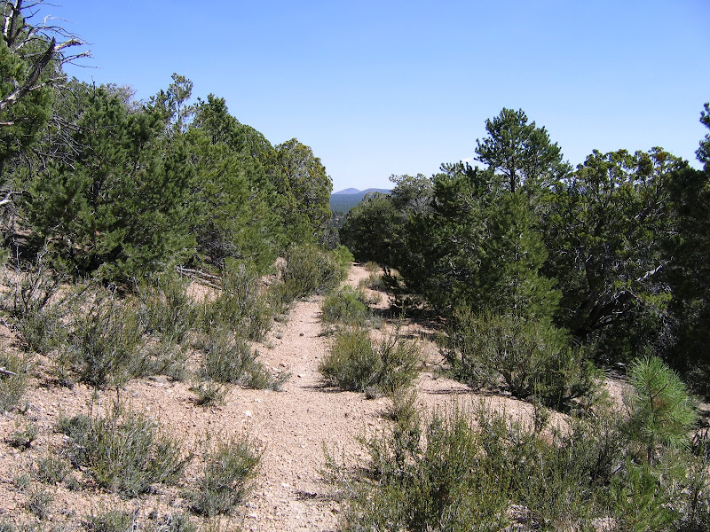
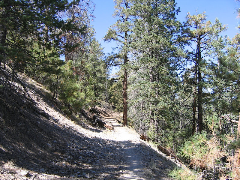
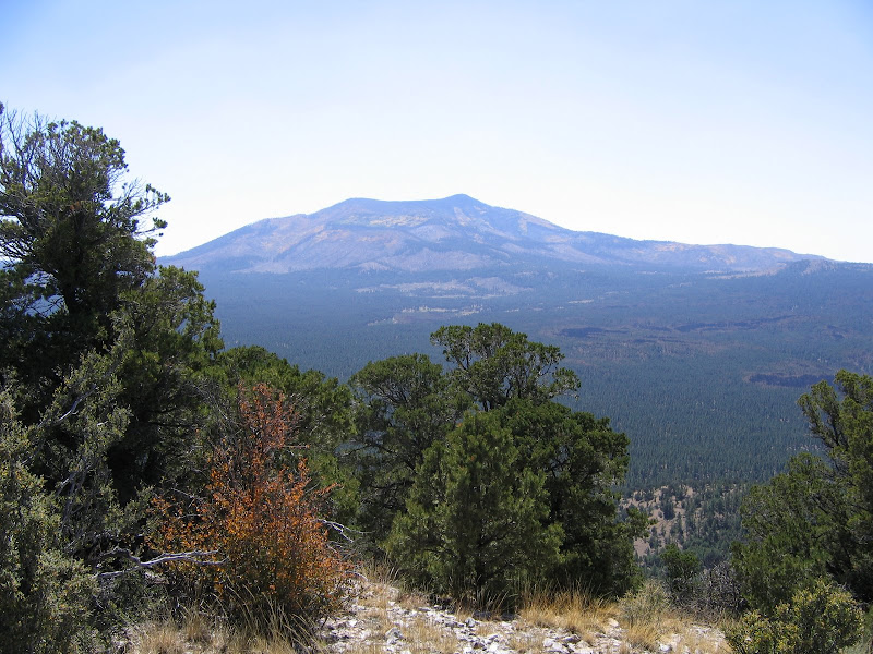
As the trail climbs higher, views east towards the San Francisco Peaks and Kendrick Mountain improve. Ponderosa pine begins to dominate the forest as slightly cooler and wetter environmental conditions exist at the higher elevations.
 |  |
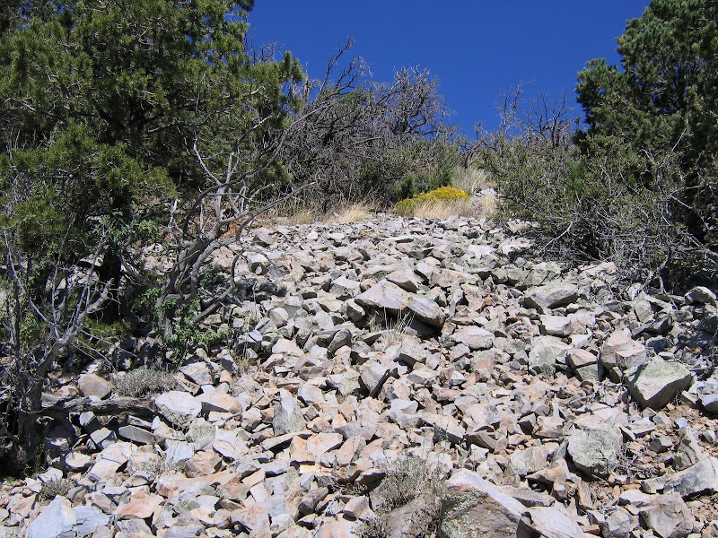
The trail grade is moderate over the entire length, and few switchbacks are required to negotiate the hill. As it nears the summit, the trail winds its way around the mountain like stripes on an old barber pole , and 360 degree views of the surrounding area are provided as you make steady progress to the top.

 |  |
Slate Mountain was so named by early settlers for the gray rock found on the upper slopes. The material does resemble slate in color and in the way it fractures along angular lines, but like all other features in this part of northern Arizona is volcanic in origin, and is actually called rhyolite.
The summit is an unremarkable rocky knob that offers outstanding views in all directions. On clear days the cleft of the Grand Canyon is visible to the north, with the San Francisco Peaks on the eastern horizon, and Kendrick Mountain looming to the south. This is a good place to pause for lunch, or to simply enjoy the peace and quiet of a high, lonely outpost in the great outdoors.
 |  |
 |  |
No comments:
Post a Comment